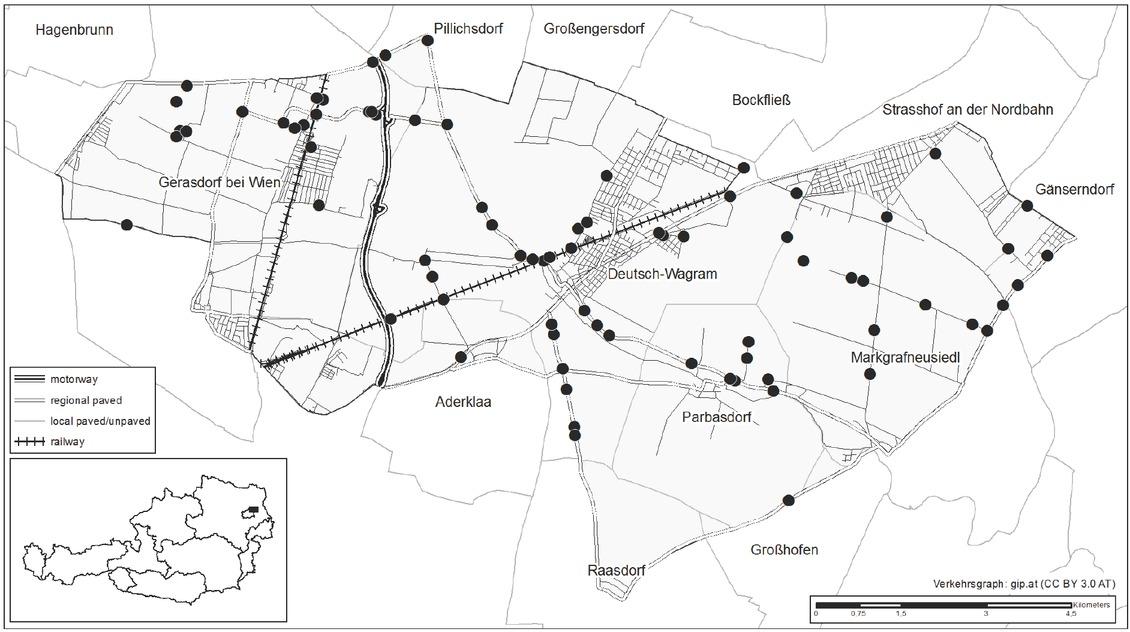
Have a personal or library account? Click to login
Roads support the spread of invasive Asclepias syriaca in Austria Cover
Open Access
|Dec 2018

Figures & Tables

Figure 1

Distribution map of Asclepias syriaca in Austria for the time periods 1990–2005 and 2006–2018 based on the grid cells of the Floristic Mapping of Central Europe (cell size: 5 × 3 geographic minutes, ~33 km2).Abbildung 1. Verbreitungskarte von Asclepias syriaca in Österreich für die Zeitperioden 1990–2005 und 2006–2018 basierend auf dem Quadrantenraster der Floristischen Kartierung Mitteleuropas (Rasterzelle: 5 × 3 geographische Minuten, ~33 km2).

Figure 2

Distribution of Asclepias syriaca along roadsides in an agricultural region in eastern Austria (● = population of A. syriaca, n = 78).Abbildung 2. Vorkommen von Asclepias syriaca entlang von Straßen in einer landwirtschaftlich geprägten Region in Ostösterreich (● = A. syriaca-Population, n = 78).

Figure 3

The three different road types invaded by Asclepias syriaca in the study area: (a) regional paved, (b) local paved, (c) local unpaved; (d) spread of A. syriaca during road construction.Abbildung 3. Die drei unterschiedlichen Straßentypen mit einem Befall von Asclepias syriaca in dem Untersuchungsgebiet: (a) Landesstraße asphaltiert, (b), Gemeindestraße asphaltiert, (c) Gemeindestraße nicht asphaltiert; (d) Ausbreitung von A. syriaca durch den Straßenbau.

Estimated model parameters of the generalized linear model (GLM)Tabelle 1_ Geschätzte Modellparameter des Generalisierten linearen Modelles (GLM)

ParametersEstimated coefficientSEp-Value
(Intercept)−3.66160.2733<0.001
Local unpaved road0.97650.2828<0.001
Adjoining land use
Arable land0.56480.32630.083
Forests1.60750.54800.003
Grassland1.47210.53030.006
Railways1.15870.42770.007
DOI: https://doi.org/10.2478/boku-2018-0022 | Journal eISSN: 2719-5430 | Journal ISSN: 0006-5471
Language: English
Page range: 257 - 265
Submitted on: Oct 3, 2018
Accepted on: Dec 10, 2018
Published on: Dec 31, 2018
Published by: Universität für Bodenkultur Wien
In partnership with: Paradigm Publishing Services
Publication frequency: 4 issues per year

© 2018 Swen Follak, Corina Schleicher, Michael Schwarz, published by Universität für Bodenkultur Wien
This work is licensed under the Creative Commons Attribution-NonCommercial-NoDerivatives 3.0 License.