
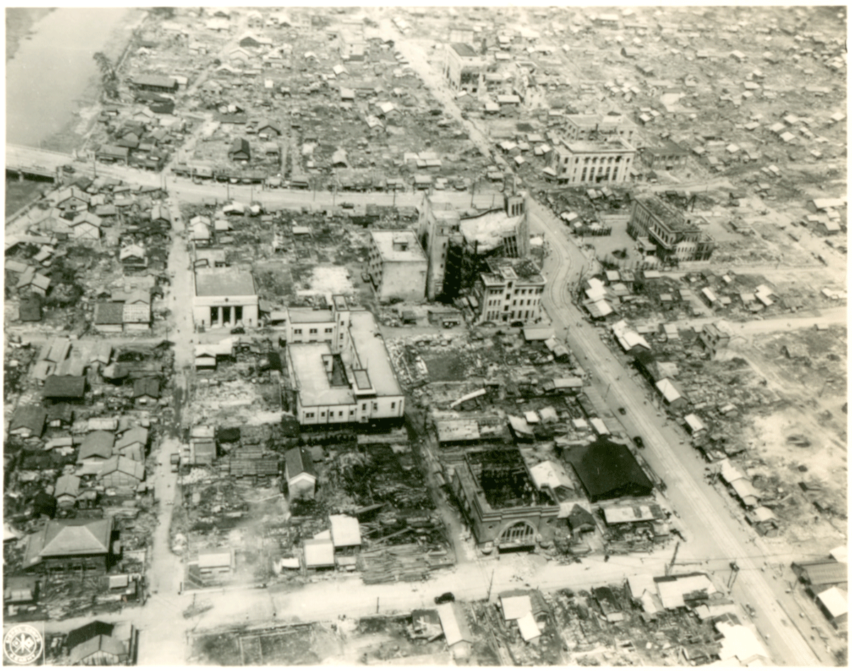
Figure 1
The vast devastation one month after the earthquake of 28 June 1948: at centre is the Fukui Bank building, nearby the ruins of the Daiwa Store Department and at left the approach to and start of Saiwai Bridge.
Source: Courtesy of the Theodore Akimoto Family Collection.
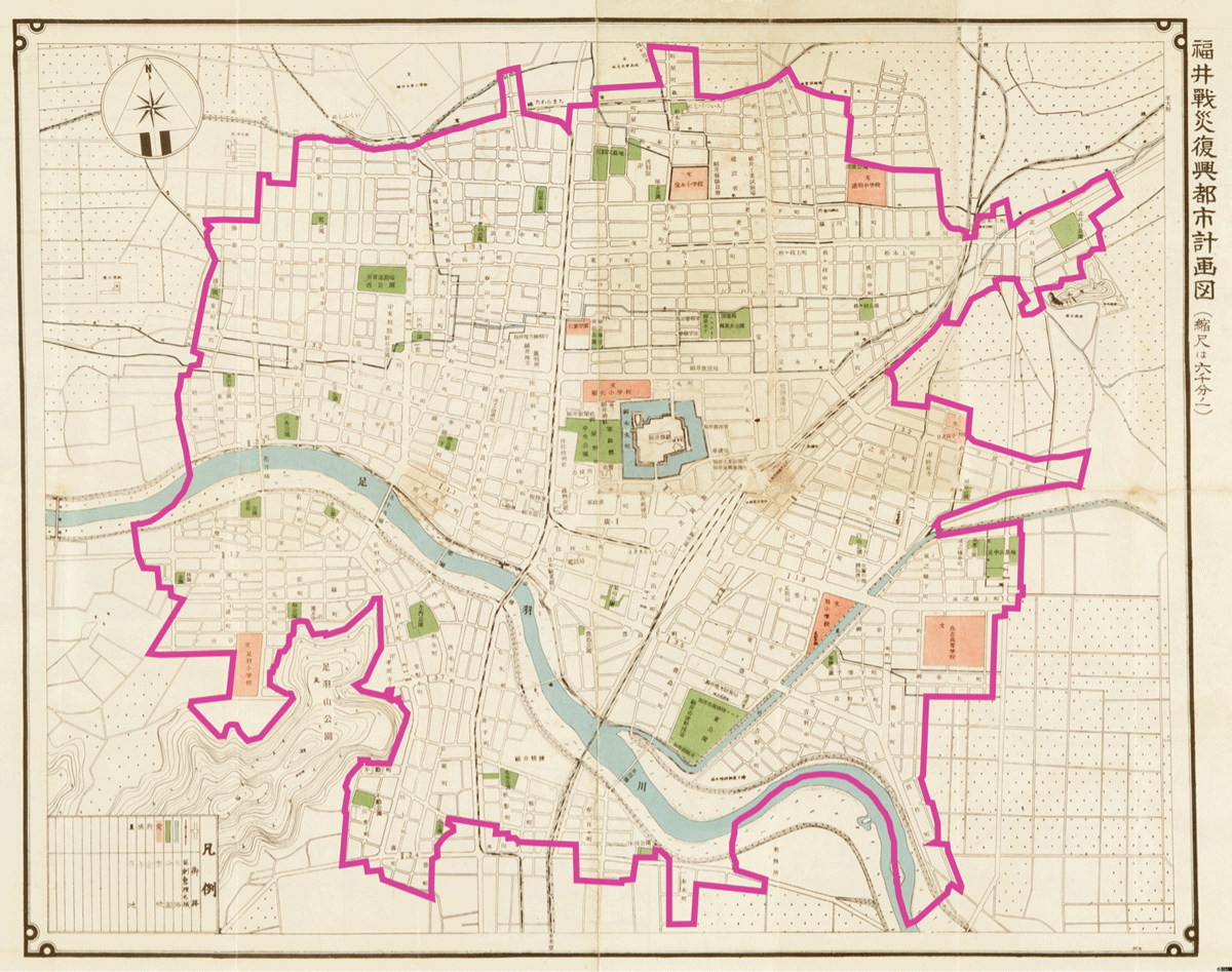
Figure 2
Fukui War-Damage Reconstruction City Plan Map (1:6000), i.e. the 1949 plan for war damage reconstruction.
Note: The land readjustment area (marked with a pink line) of more 507 ha was remarkably completed within 2.5 years.
Source: Adapted by the authors. Courtesy: Fukui Prefectural Library Rare Books Collection, Fukui Prefectural Archives, A1001-00023.
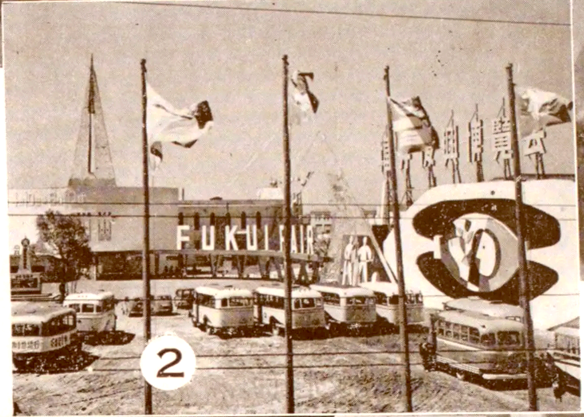
Figure 3
The main site of the 1952 Fukui Fair (Fukkō Hakurankai) at Fukui University, which was not included in the land readjustment plan but which was damaged during the bombing.
Source: Hokkoku Shimbunsha (1952).