Figure 1.
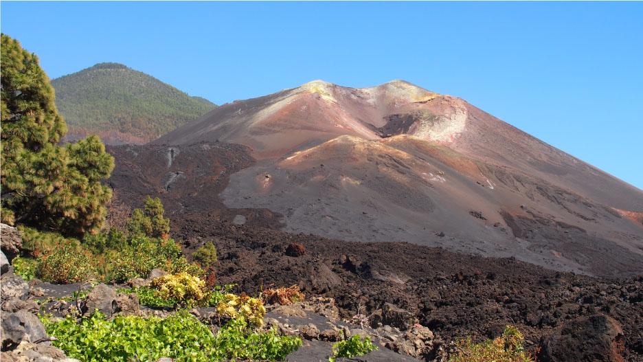
Figure 2–5.
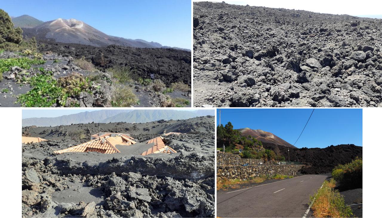
Figure 6.
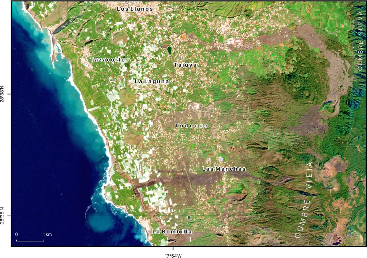
Figure 7.
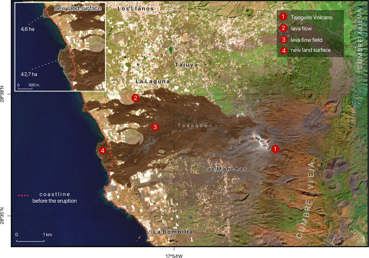
Figure 8.
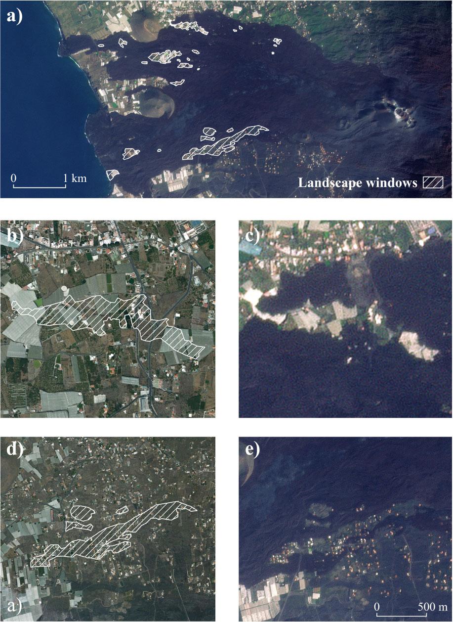
Figure 9.
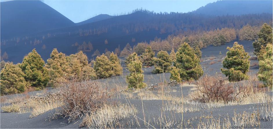
Figure 10–11.
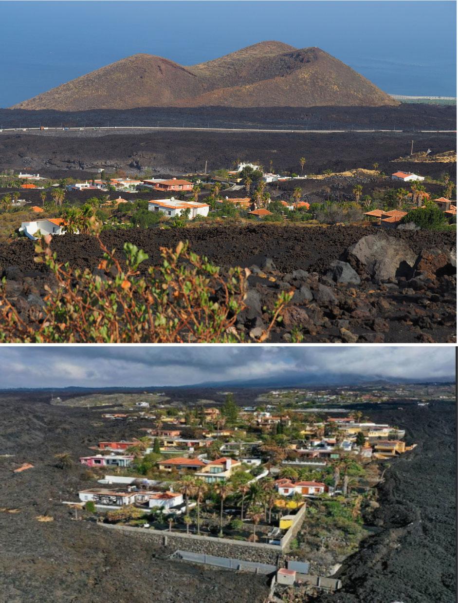
Figure 12.
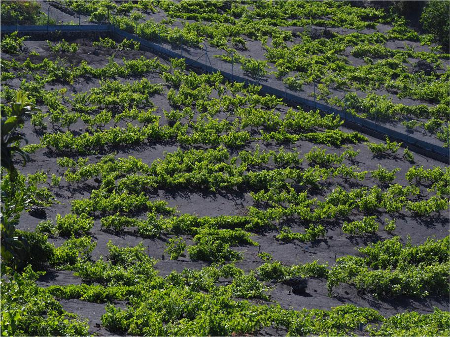
Figure 13.
Figure 14.
© 2025 Anna Dudek, Maciej Jędrusik, Jerzy Makowski, Joanna Miętkiewska-Brynda, Oliwier Zając, published by Faculty of Geography and Regional Studies, University of Warsaw
This work is licensed under the Creative Commons Attribution 4.0 License.