
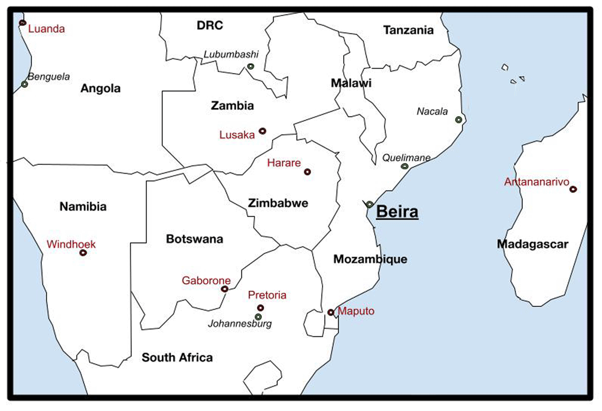
Figure 1
Location map of Beira in the sub-region.
Source: Drawing by author, adapted from Google Maps.
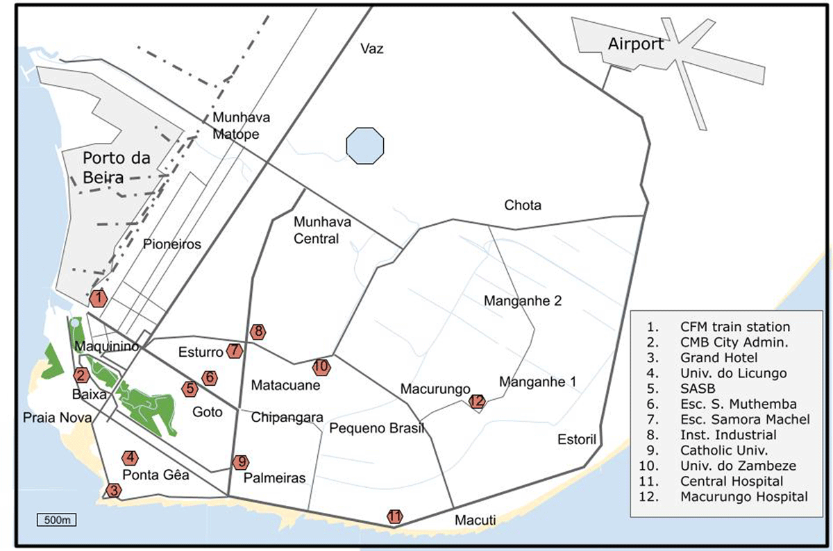
Figure 2
Map of central Beira.
Source: Drawing by author, adapted from Open Street Maps.
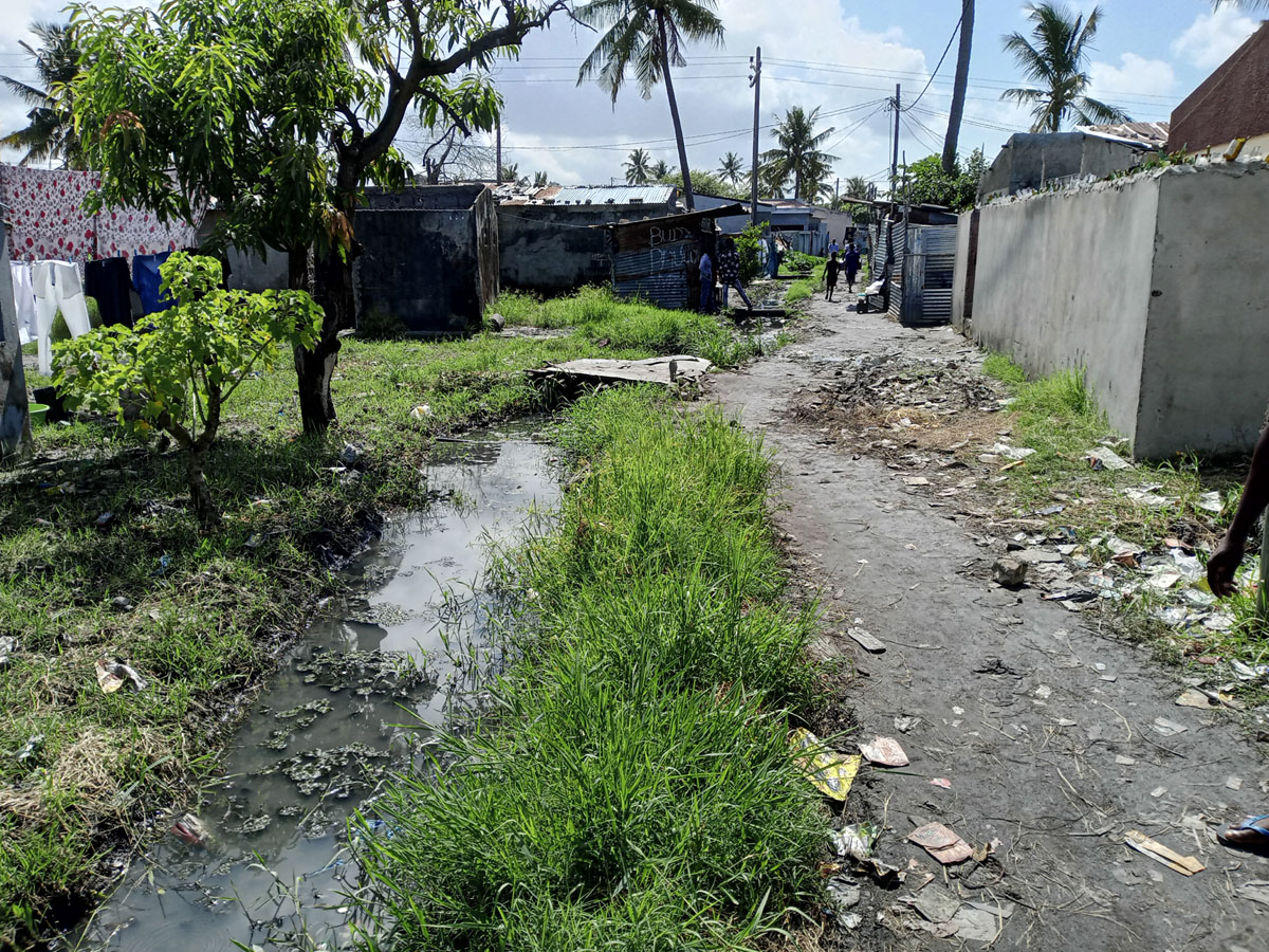
Figure 3
Drainage canals in Goto.
Source: Author.
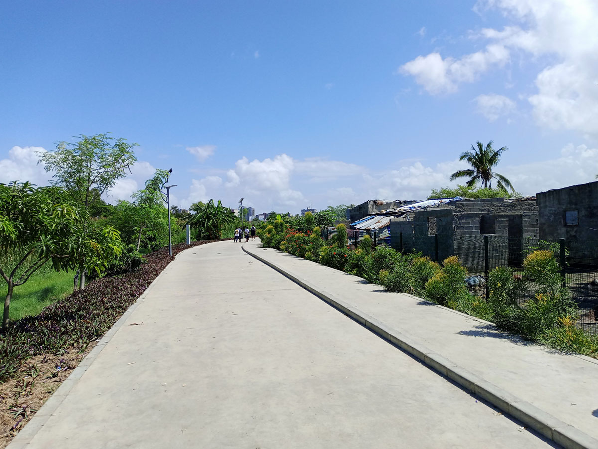
Figure 4
Section of the Green Infrastructures park, with Goto fenced off to the right.