
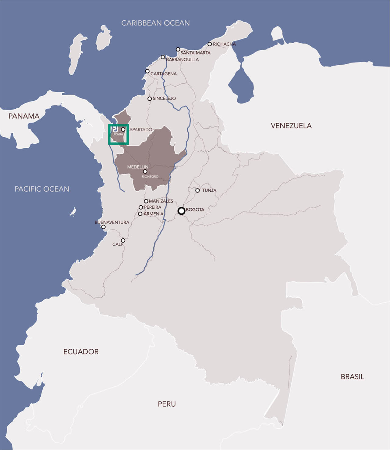
Fig. 1
Location of the region of Urabá in Colombia.
Source: own compilation.
Table. 1
Agrarian extractivist actors, their techno-political frames and (in)justices.
| Dominant extractivist regime | Systemic conflicts | |
|---|---|---|
| Actors and relevant social groups |
|
|
| Techno-political frames |
|
|
| Urban, rural and transport (in)justices |
|
|
[i] Source: own compilation.
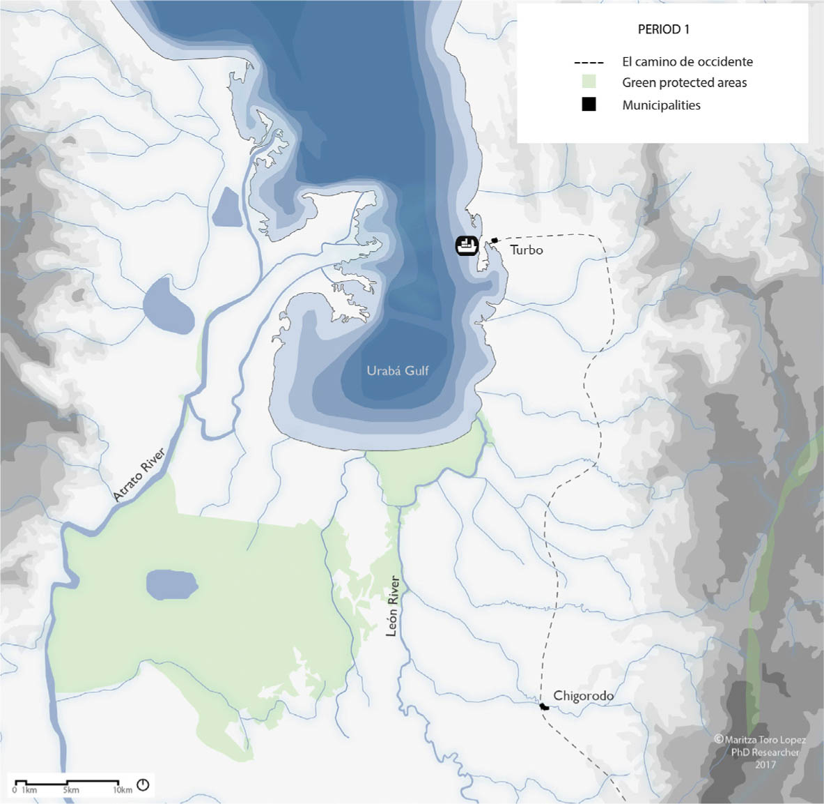
Fig. 2
Period 1: El camino de occidente, the first infrastructure that supported extractivism.
Source: own compilation.
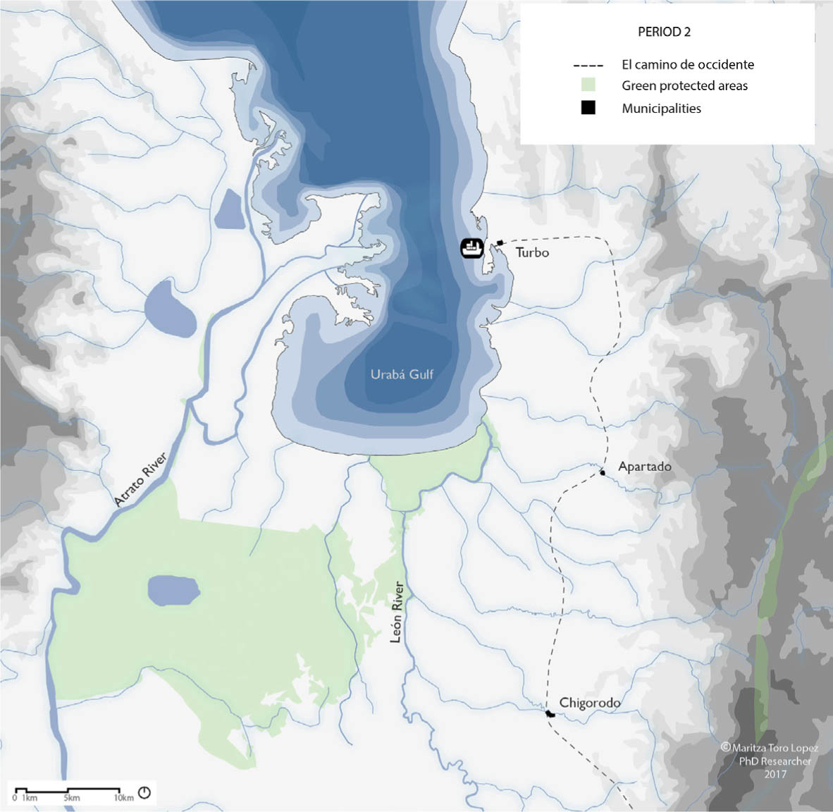
Fig. 3
Period 2: Tagua exploitation led to the emergence of the municipality of Apartadó.
Source: own compilation.
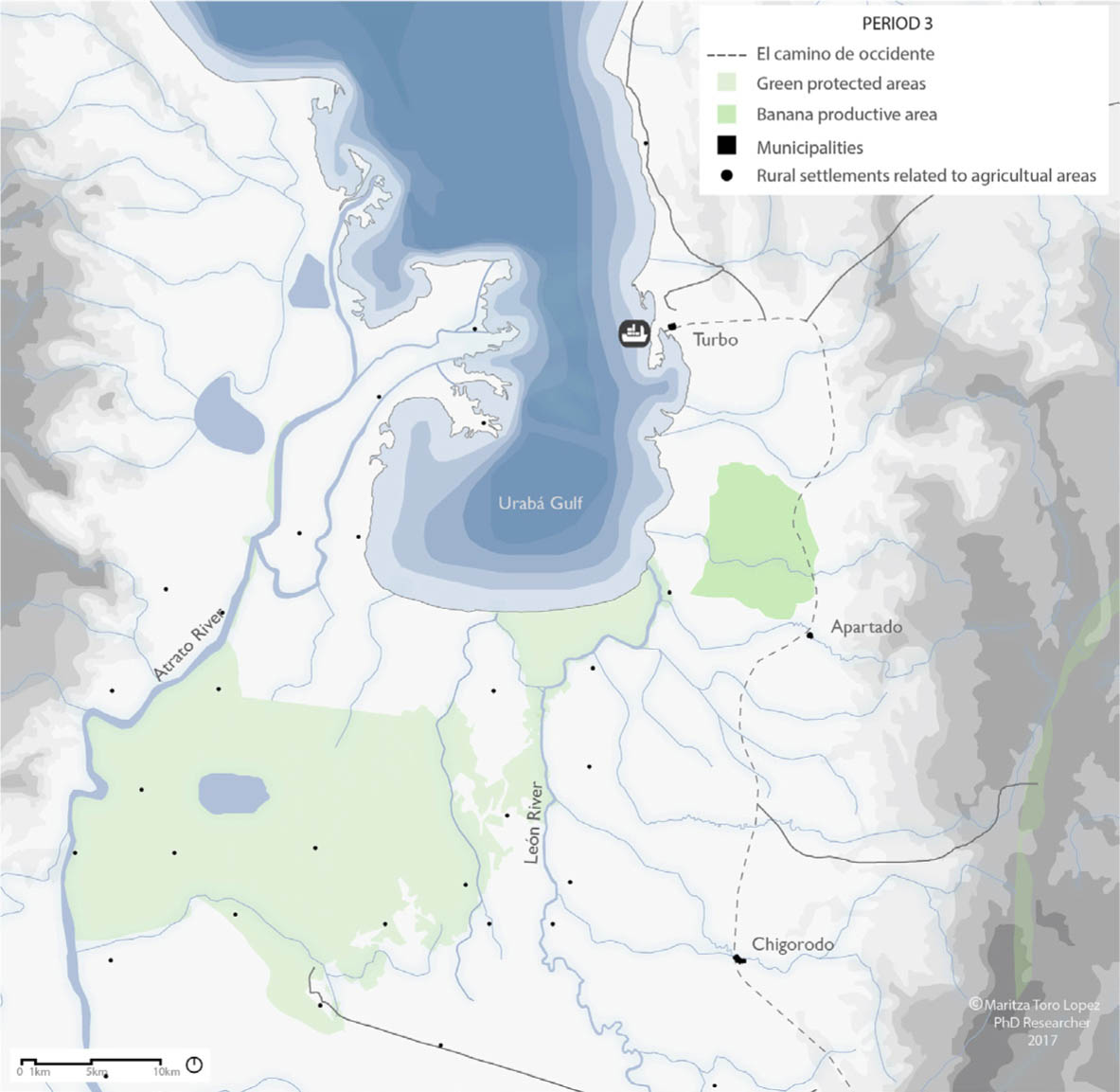
Fig. 4
Period 3: The natural and artificial infrastructures of the region resulted in the establishment of important precedents for the future.
Source: own compilation.
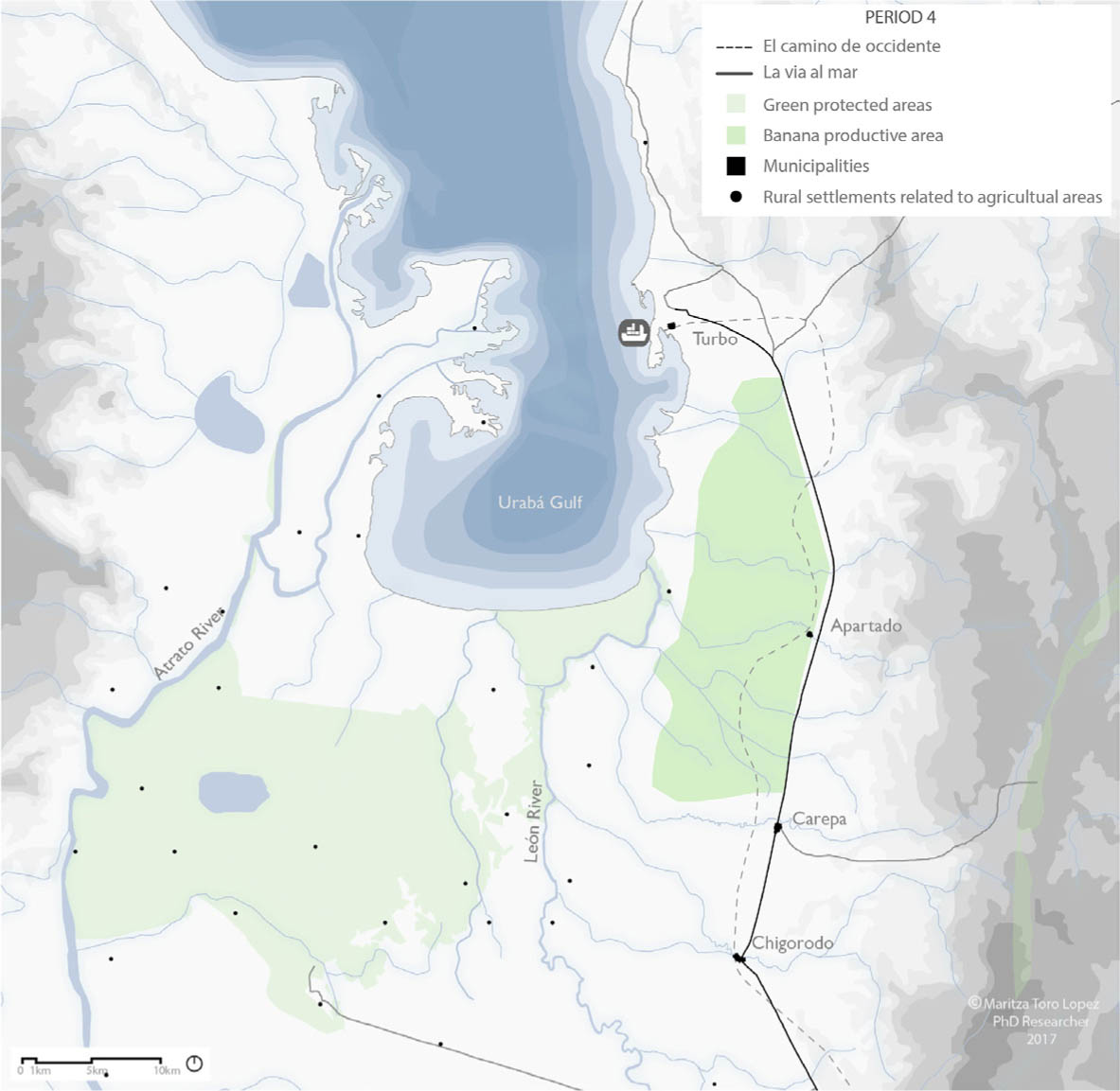
Fig. 5
Period 4: Designing a regional highway La vía al mar.
Source: own compilation.
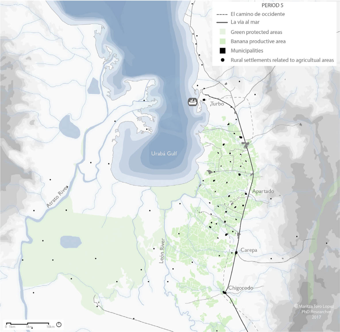
Fig. 6
Period 5: The consolidation of the banana industry.
Source: own compilation.
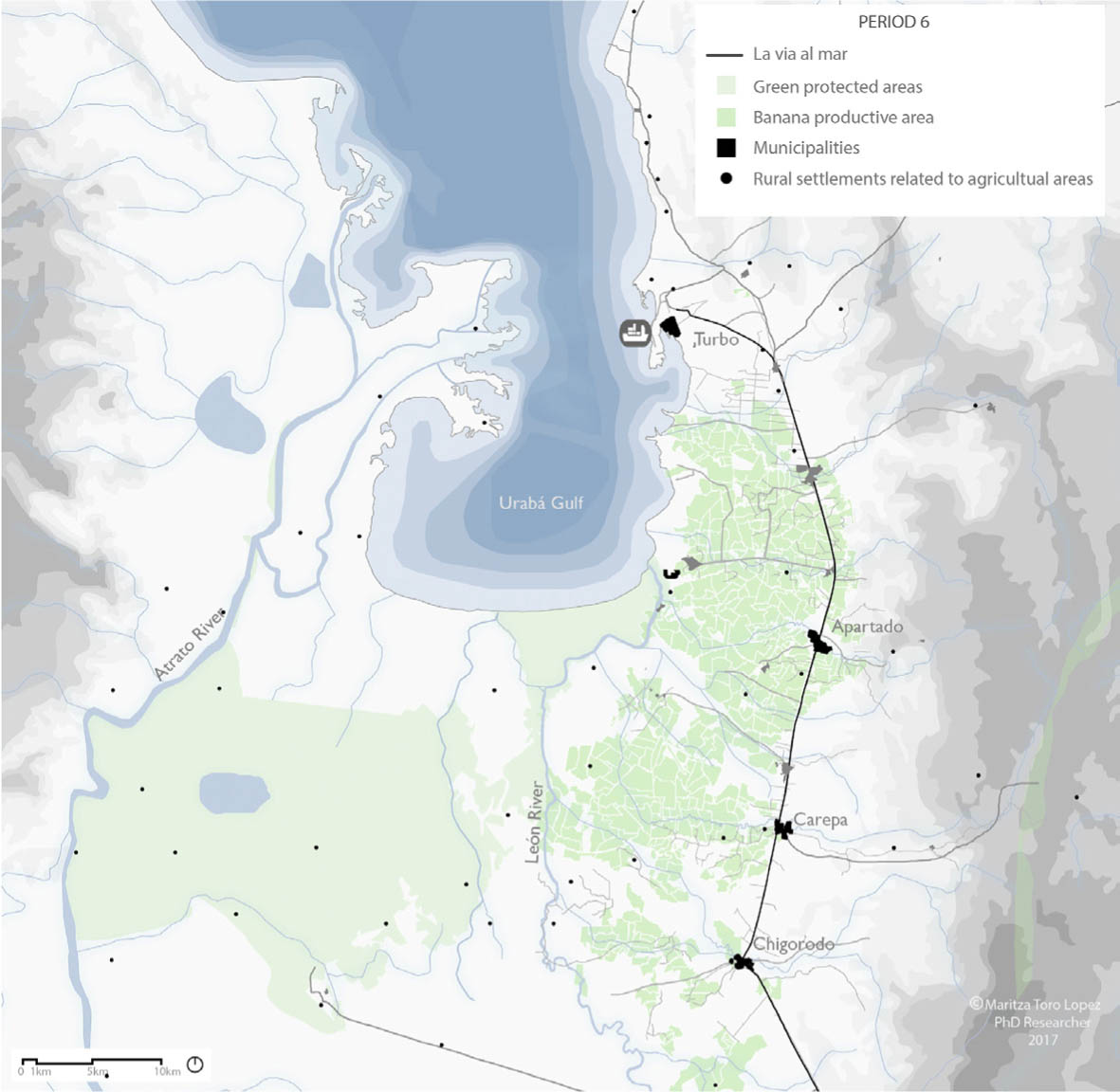
Fig. 7
Period 6: The conflict.
Source: own compilation.
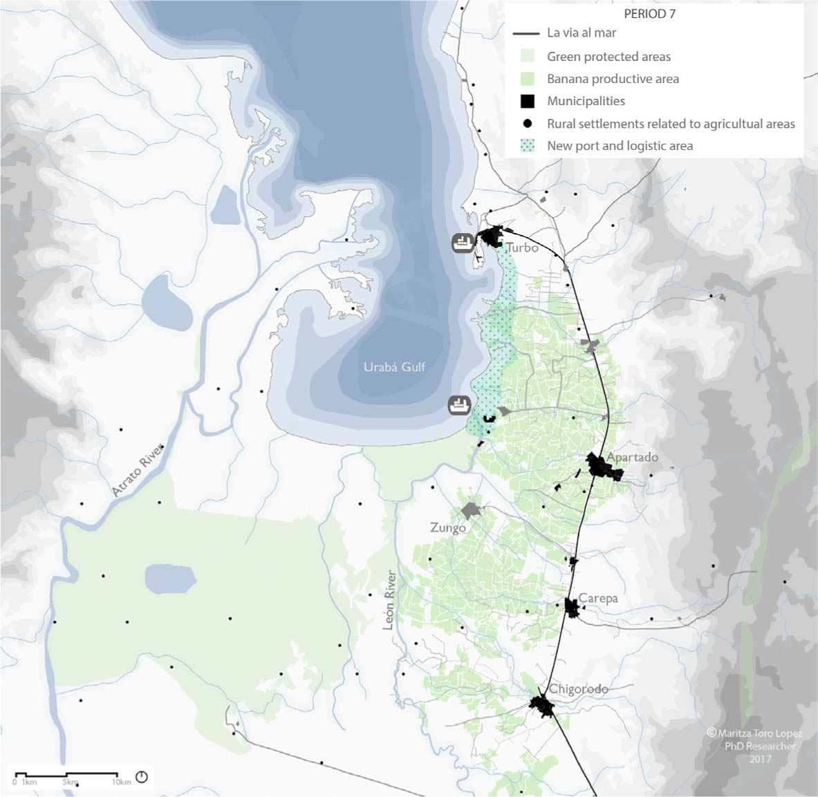
Fig. 8
Period 7: The post-conflict.
Source: own compilation.
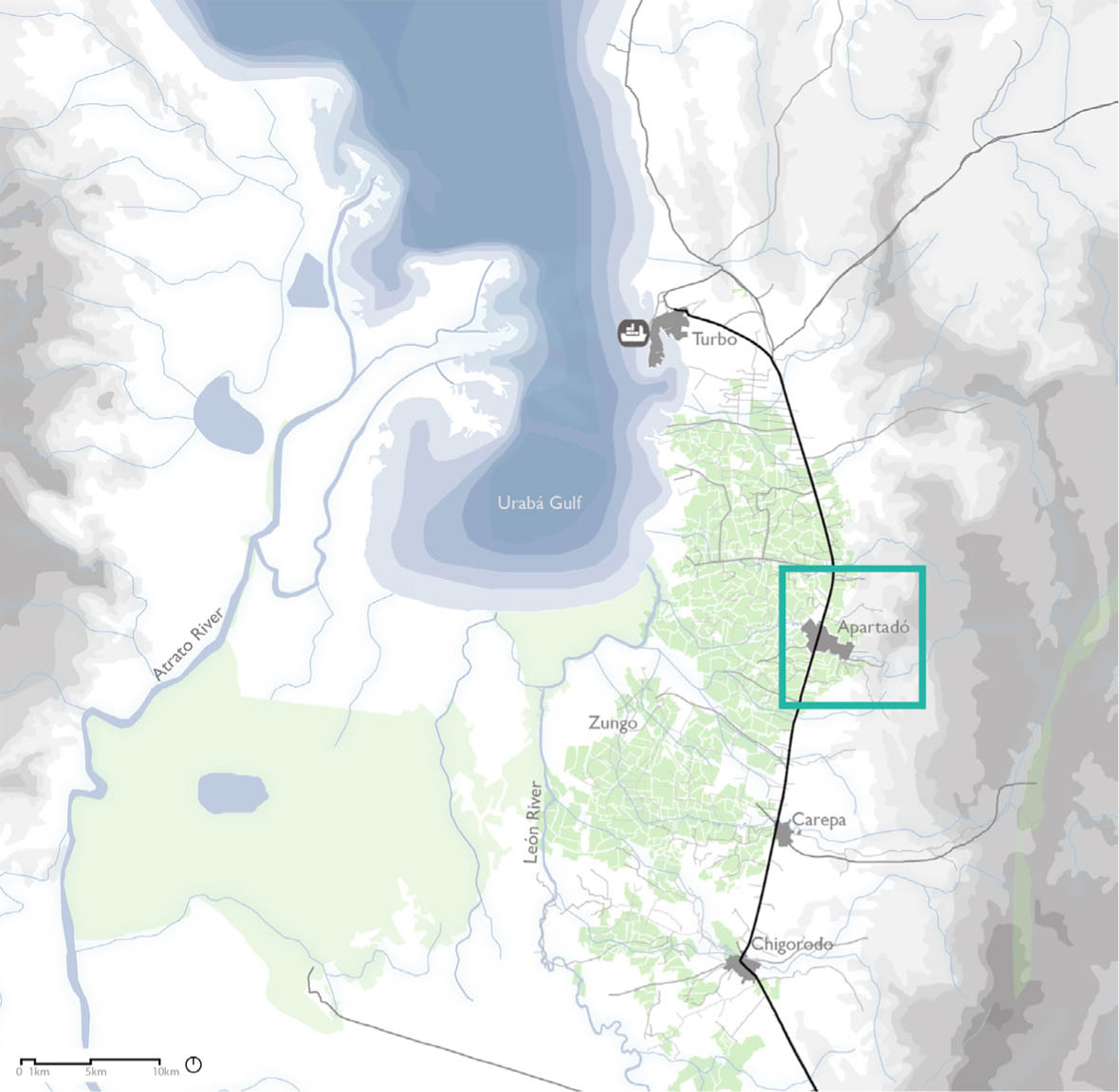
Fig. 9
Location of Apartadó within the region of Urabá.
Source: own compilation.
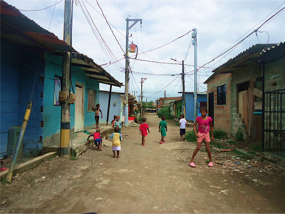
Photo. 1
Informal urban settlements in the municipality of Apartadó.
Source: photo taken by the author.
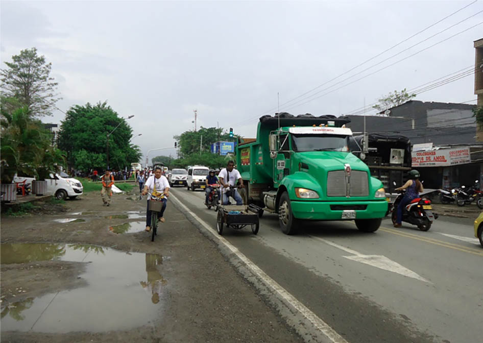
Photo 2
Overlap of transport systems in the municipality of Apartadó.
Source: photo taken by the author.
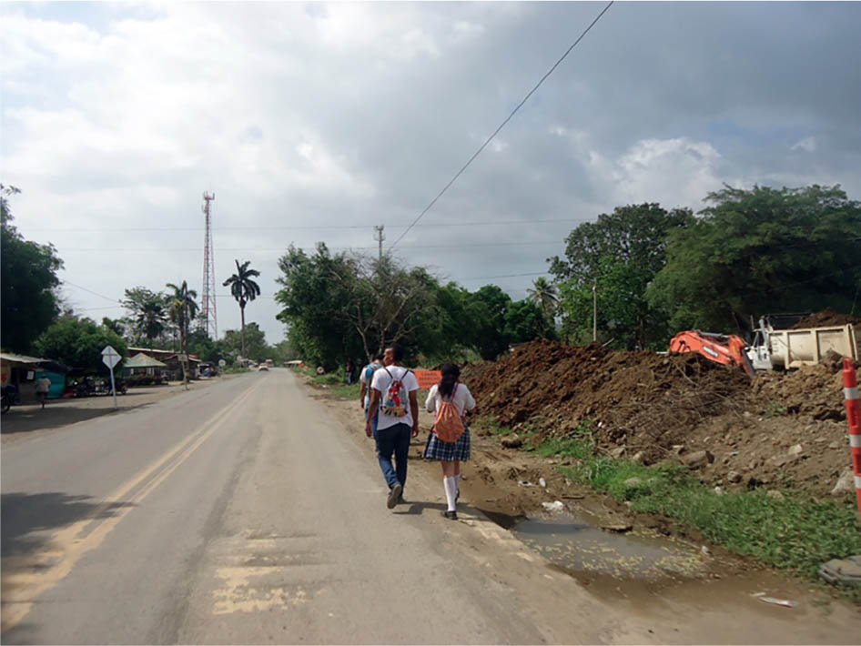
Photo 3
Lack of infrastructure for pedestrians.
Source: photo taken by the author.
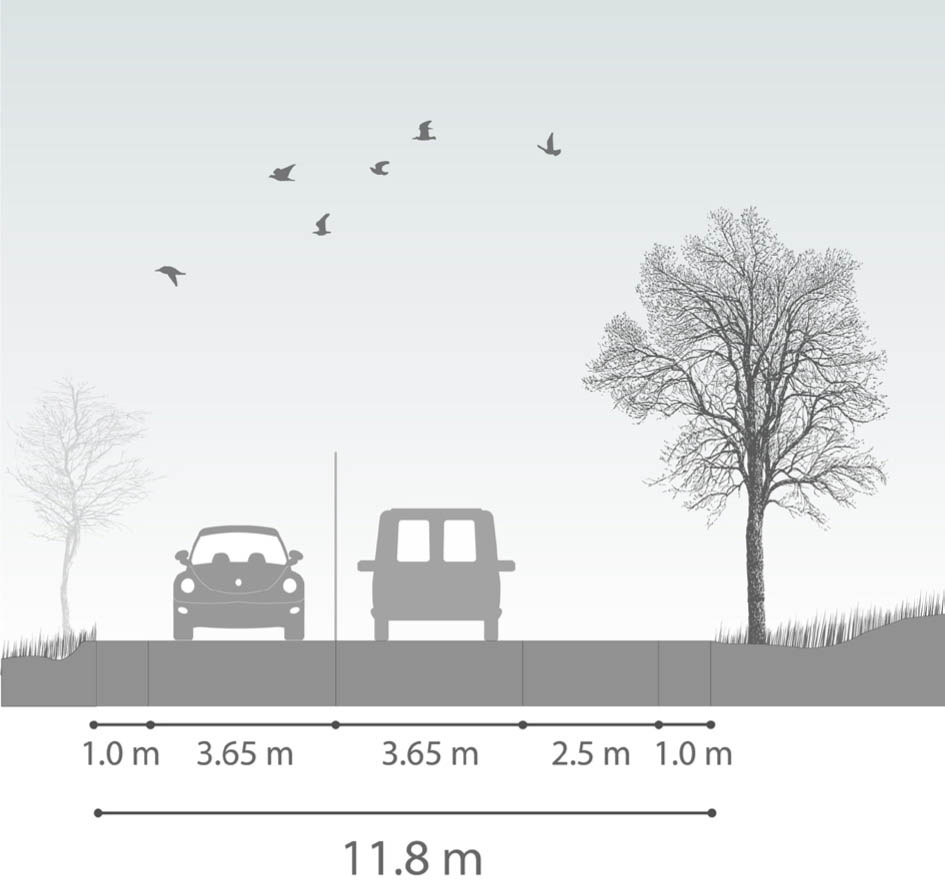
Fig. 10
Basic section of the proposed Transversal de las Américas. Lack of spaces for soft transport systems.
Source: own compilation based on Agencia Nacional de Infraestructura (ANI) data.