
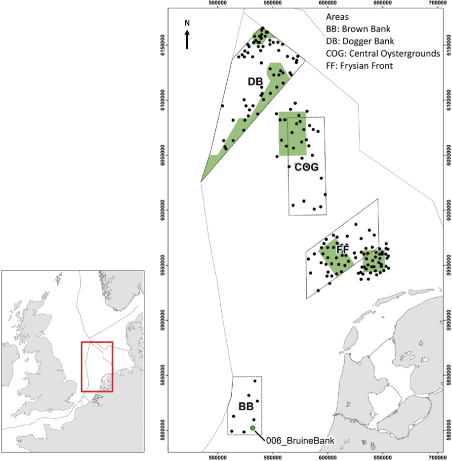
Figure 1
Map of the North Sea with areas of high ecological value on the Dutch Continental Shelf, proposed nature reserves (green), sampling locations in February and March 2019 (black dots), including the sampling location where Asthenognatus atlanticus was collected (green dot) on Brown Bank. Coordinate system WGS84 in a UTM 31N projection
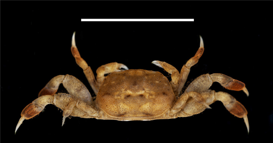
Figure 2
Asthenognathus atlanticus from Brown Bank; dorsal view. Scale bar = 10 mm. RMNH.CRUS.D.57968
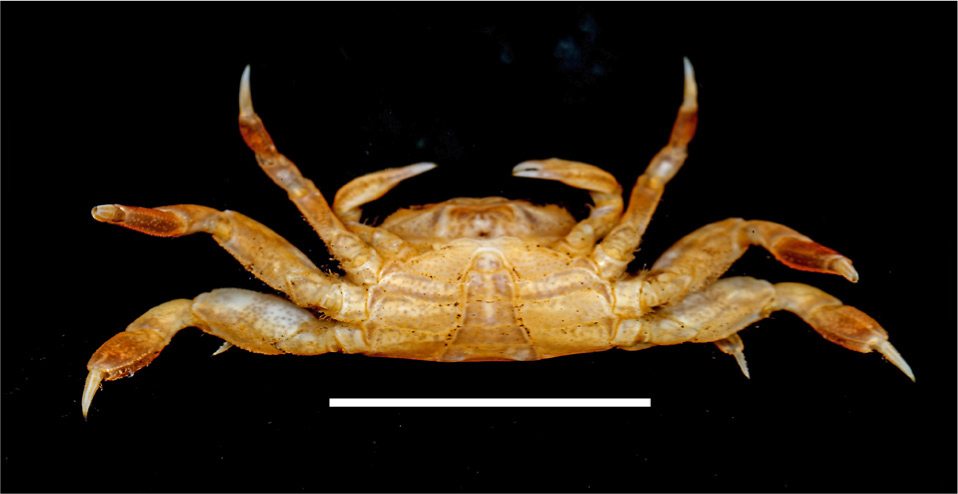
Figure 3
Asthenognathus atlanticus; ventral view with chelipedes (Brown Bank). Scale bar = 10 mm. RMNH.CRUS.D.57968
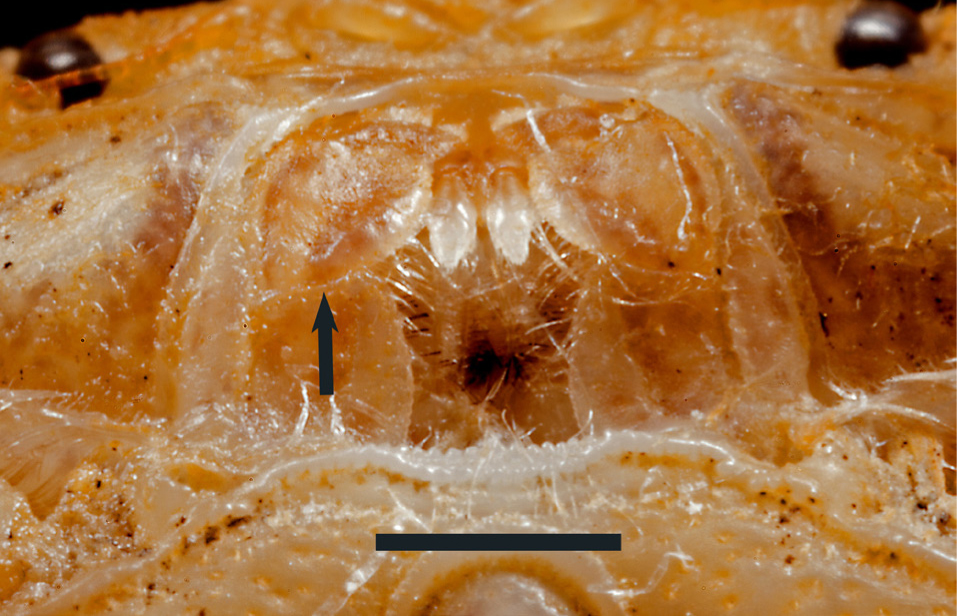
Figure 4
Asthenognathus atlanticus, third maxilliped, with a boundary between merus and ischium arrowed (Brown Bank). Scale bar = 1mm. RMNH.CRUS.D.57968
Table 1
Chronological distribution data and ecological data from the literature and our sampling
| region | period | depth (m) | sediment | number | associates | source |
|---|---|---|---|---|---|---|
| Gold Coast (= Ghana) to Roscoff, including W Mediterranean Sea | 1932–1977 | 0–200 | mud, muddy sand, sandy mud | 1–40 | Cerianthus membranaceus (Gmelin, 1791), Sipunculus nudus Linnaeus, 1766, Oestergrenia digitata (Montagu, 1815) | Glémarec & Hily (1979), partly cited from earlier sources |
| Bay of the Seine | 2008–2011 | 10–25 | mud, muddy sand, sand | 30 | Terebellides stroemi Sars, 1835, Lanice conchilega Pallas, 1766, Upogebia deltaura (Leach, 1816) | Jourde et al. (2012) |
| Dieppe–Le Tréport | 2015–2018 | 12–25 | including coarse sand | Chaetopterus variopedatus (Renier, 1804), Cerianthus lloydii Gosse, 1859 | Pezy & Dauvin (2016) | |
| southern North Sea | 2019 | 32 | sand with shell grit | 1 | Callianassa subterranea and/or Gilvossius tyrrhenus, Echinocardium cordatum | this paper |