Figure 1.
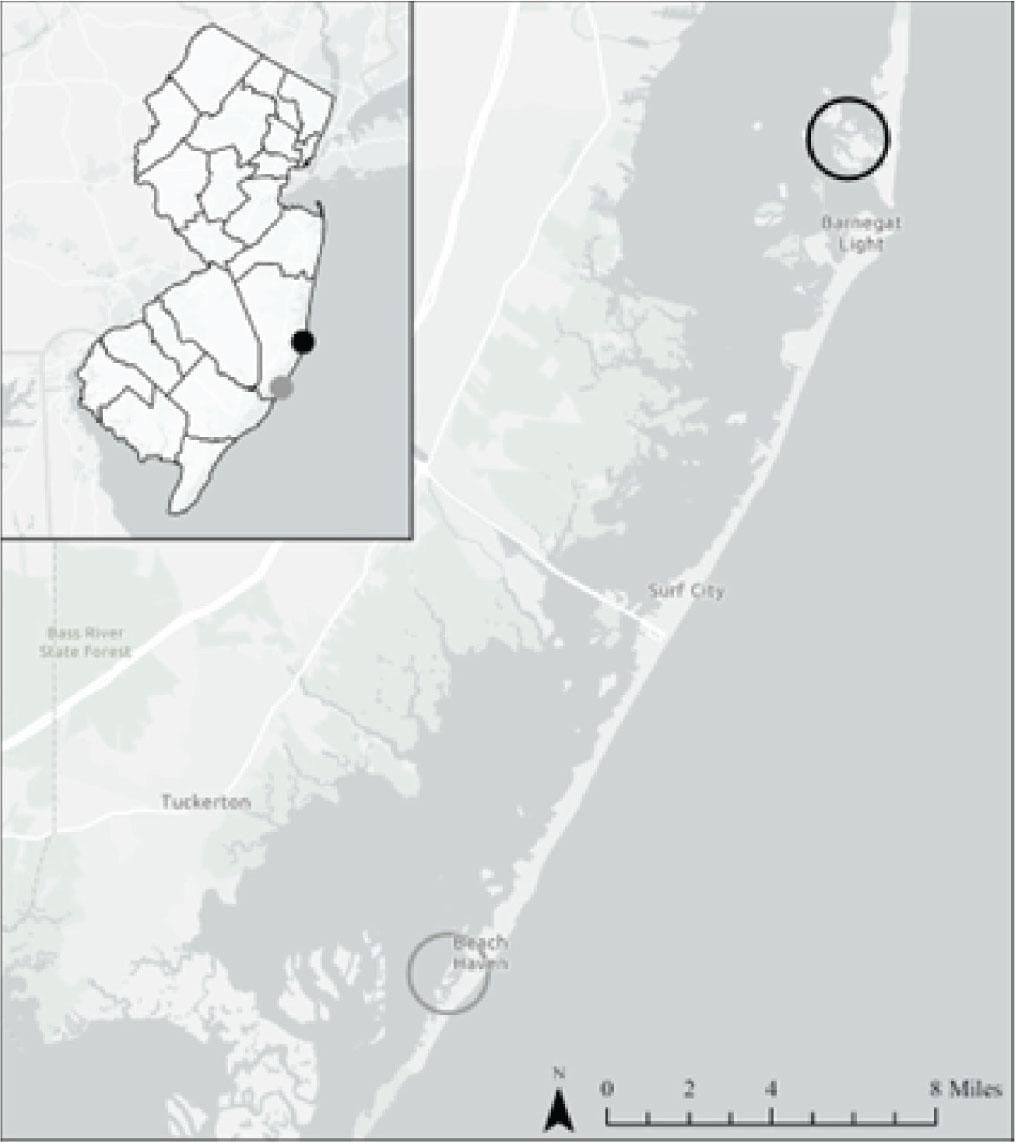
Figure 2.
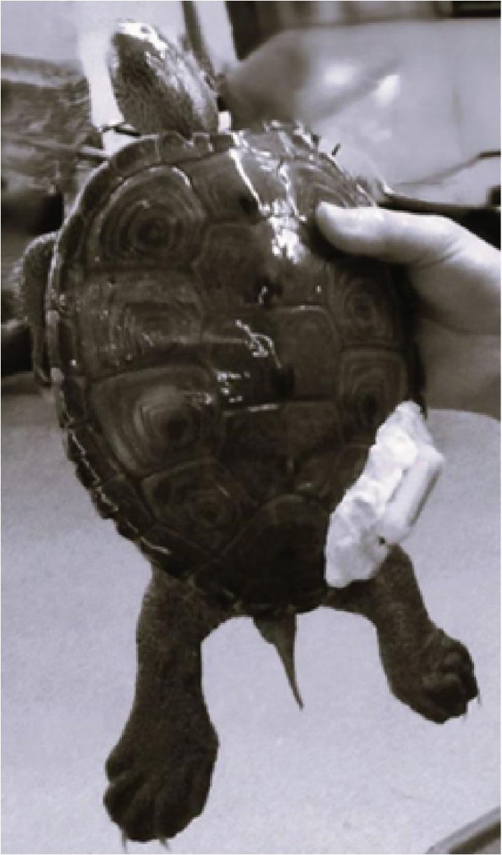
Figure 3.
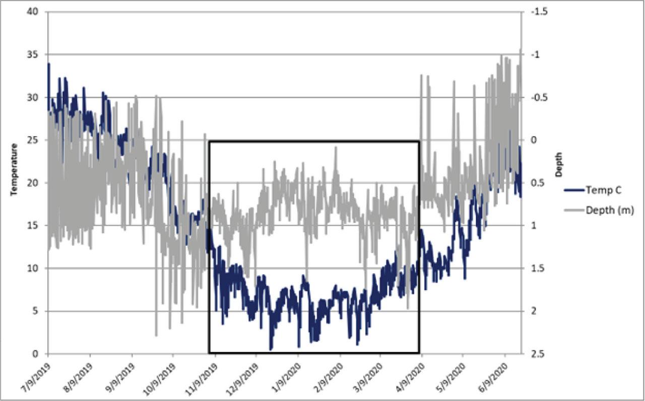
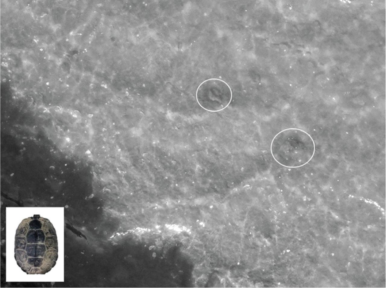
Figure 4.

Figure 5.
Environmental conditions during drone brumation surveys of the cove within Barnegat Bay - Little Egg Harbor Estuary_
| Survey 1 | Survey 2 | Survey 3 | |
|---|---|---|---|
| 5 April 2023 | 7 April 2023 | 11 April 2023 | |
| Method | drone | drone | drone |
| Water Temperature | 12.72°C | 13.78°C | 11.50°C |
| Water Depth | < 1.0 m | < 1.0 m | < 1.0 m |
| Tidal Height | 0.0067 m | 0.007 m | 0.063 m |
| Wind | SE 12.9 km/h | W 12.9 km/h | W 24.1 km/h |
| Visibility | 4.8 km | 33.8 km | 27.4 km |
Comparison of environmental conditions for brumation and cold water terrapin studies performed by Yearicks et al_ (1981); Williard and Harden (2011); and Akins et al_ (2014)_ All units were converted for comparison purposes_
| This Study | Yearicks et al. (1981) | Akins et al. (2014) | Williard & Harden (2011) | |
|---|---|---|---|---|
| Location | Barnegat Bay-Little Egg Harbor Estuary, New Jersey | Atlantic Coast of Cape May County, New Jersey | South Carolina (by Kiawah Island) | Mansonboro Island, North Carolina |
| Survey Type | Drone; Environmental sensor | Probing | Temperature data Loggers | Radiotelemetry & visual observation; Temperature data loggers |
| Water Depth | < 1 m | Creek bottoms at low tide = 1.5 – 2.5 m | 0.15 m | Not reported |
| Mud Depth | < 12 cm | Creek bank sides = 15 – 50 cm; Bank undercuts = <1.0 cm | 10 cm | 5 – 10 cm (intertidal zone) |
| Water Temperature | Early April: < 13.90°C | Mid to late November: 6 – 10°C | April: < 18°C | Mean weekly carapace temperature (Tc) during dormancy = 12.4 +/−1.0°C; Majority of dormancy period at < 20°C |
| Gender | Male/Female | Male/Female | Male/Female | Female |
| Location of Brumating Terrapins | Beyond the edges of sloped embankments; underwater burial on cove’s bay floor | Underwater burial on bottom of bay floor; atop creek banks and undercuts | Shallow intertidal mud | Burial in mud of intertidal zone |