
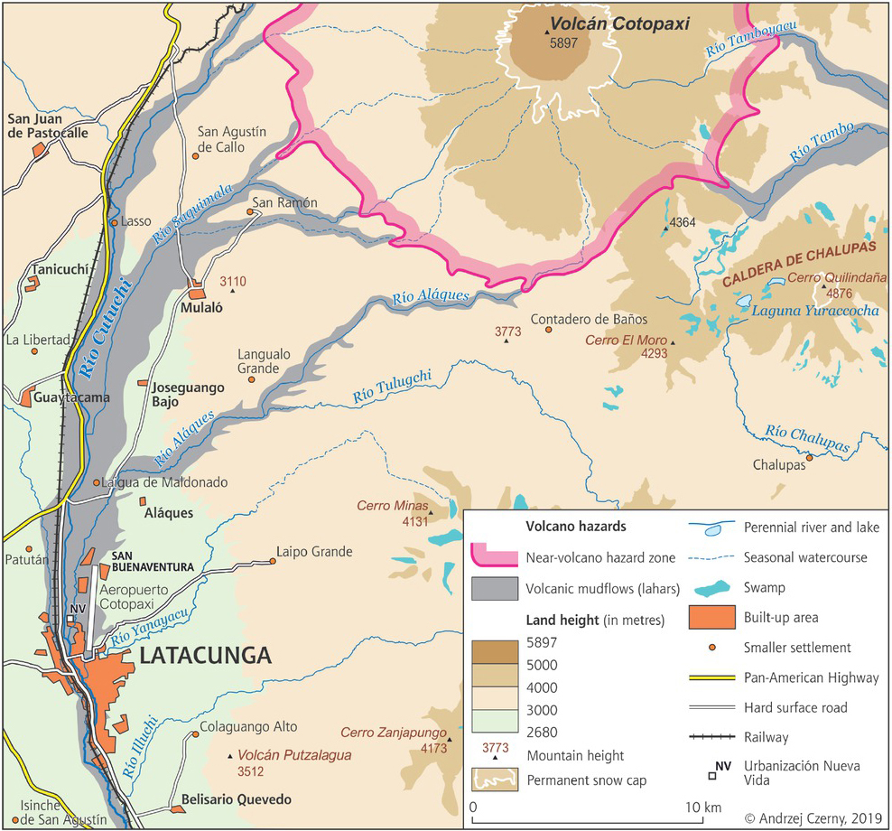
Figure 1
Land threatened by lahars should there be a further eruption of Cotopaxi
Source: Own elaboration on the basis of Mapa Regional de Amenazas Volcanicas Potenciales del Volcan Cotopaxi – Zona Sur 2015
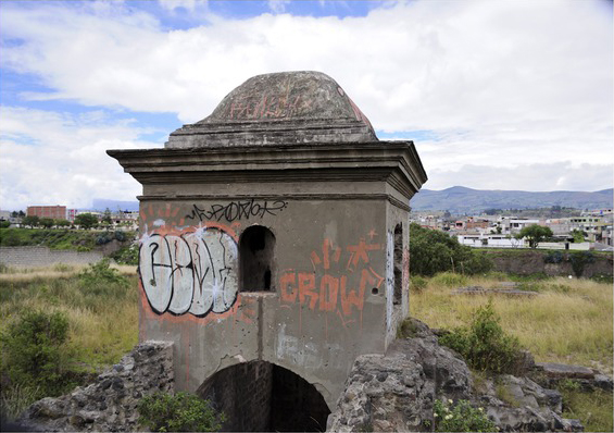
Figure 2
Latacunga – the old San Gabriel textile mill, located in the river valley and so inundated by mudslides following the 1877 eruption of Cotopaxi
Photo taken by: Mirosława Czerny
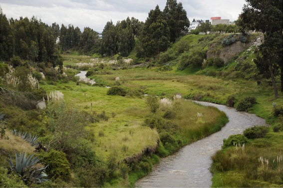
Figure 3
Cutuchi River in Latacunga
Photo taken by: Mirosława Czerny
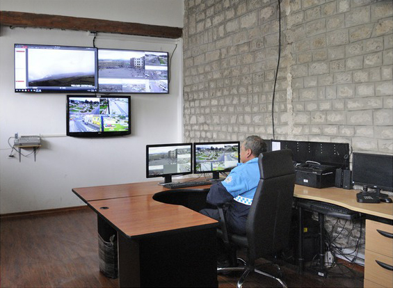
Figure 4
Monitoring room. One camera shows the volcano Cotopaxi all the time
Photo taken by: Mirosława Czerny
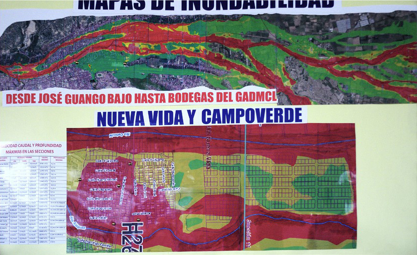
Figure 5
Nueva Vida/Campo Verde – places threatened by flooding of lahars
Source: presentation for members of the Geographical Congress made by Servicio Nacional de Gestión de Riesgos y Emergencia, 14 April 2019
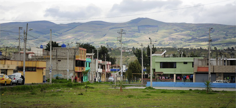
Figures 6
New housing construction in Nueva Vida/Campo Verde (Latacunga)
Photo taken by: Mirosława Czerny
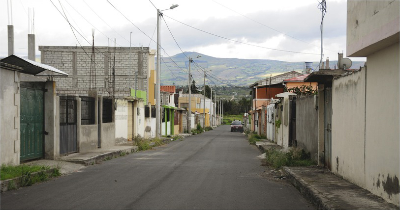
Figures 7
New housing construction in Nueva Vida/Campo Verde (Latacunga)
Photo taken by: Mirosława Czerny
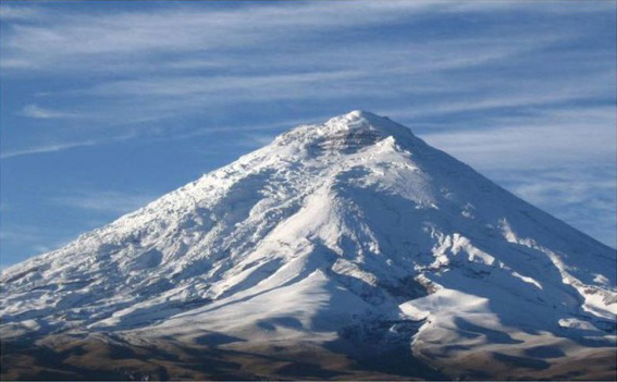
Figure 8
Cotopaxi volcano
Photo taken by: Jerzy Makowski