
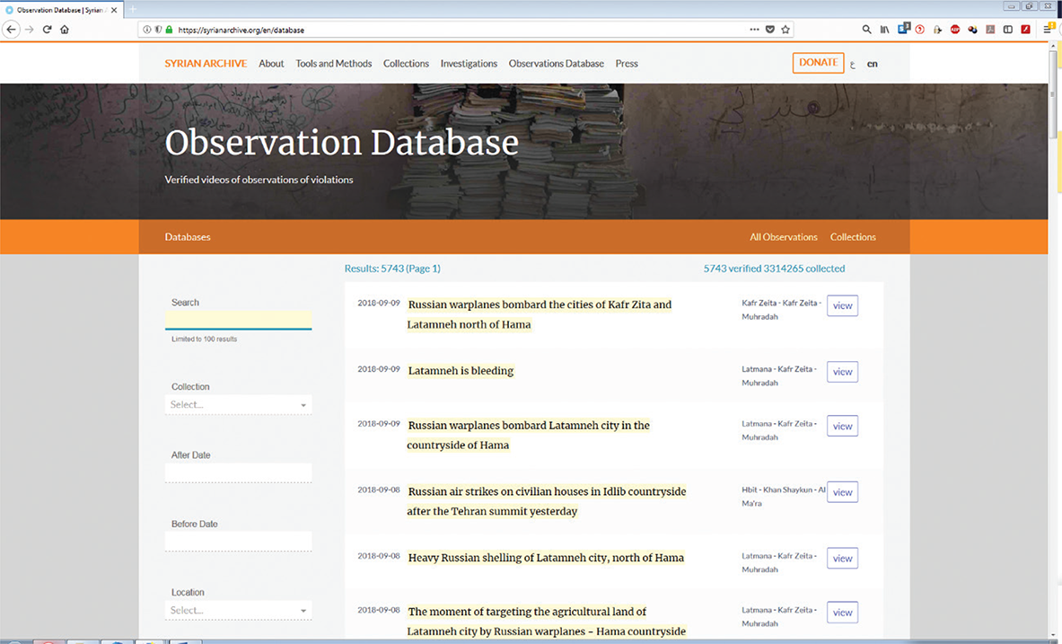
Figure 1
A screenshot capturing the “Observation Database”, https://syrianarchive.org/en/database.
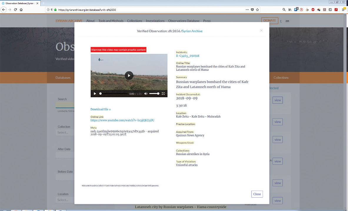
Figure 2
A screenshot of a video example that illustrates the application of metadata and categories to a video. https://syrianarchive.org/en/database?unit=dfc2656.
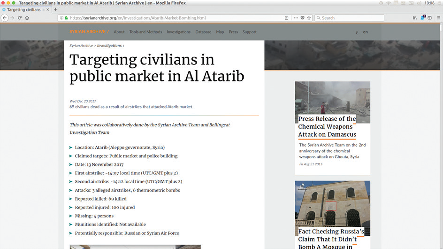
Figure 3
A screenshot showing the statistical overview of the investigation of the bombing in Al Atarib. https://syrianarchive.org/en/investigations/Atarib-Market-Bombing.html.
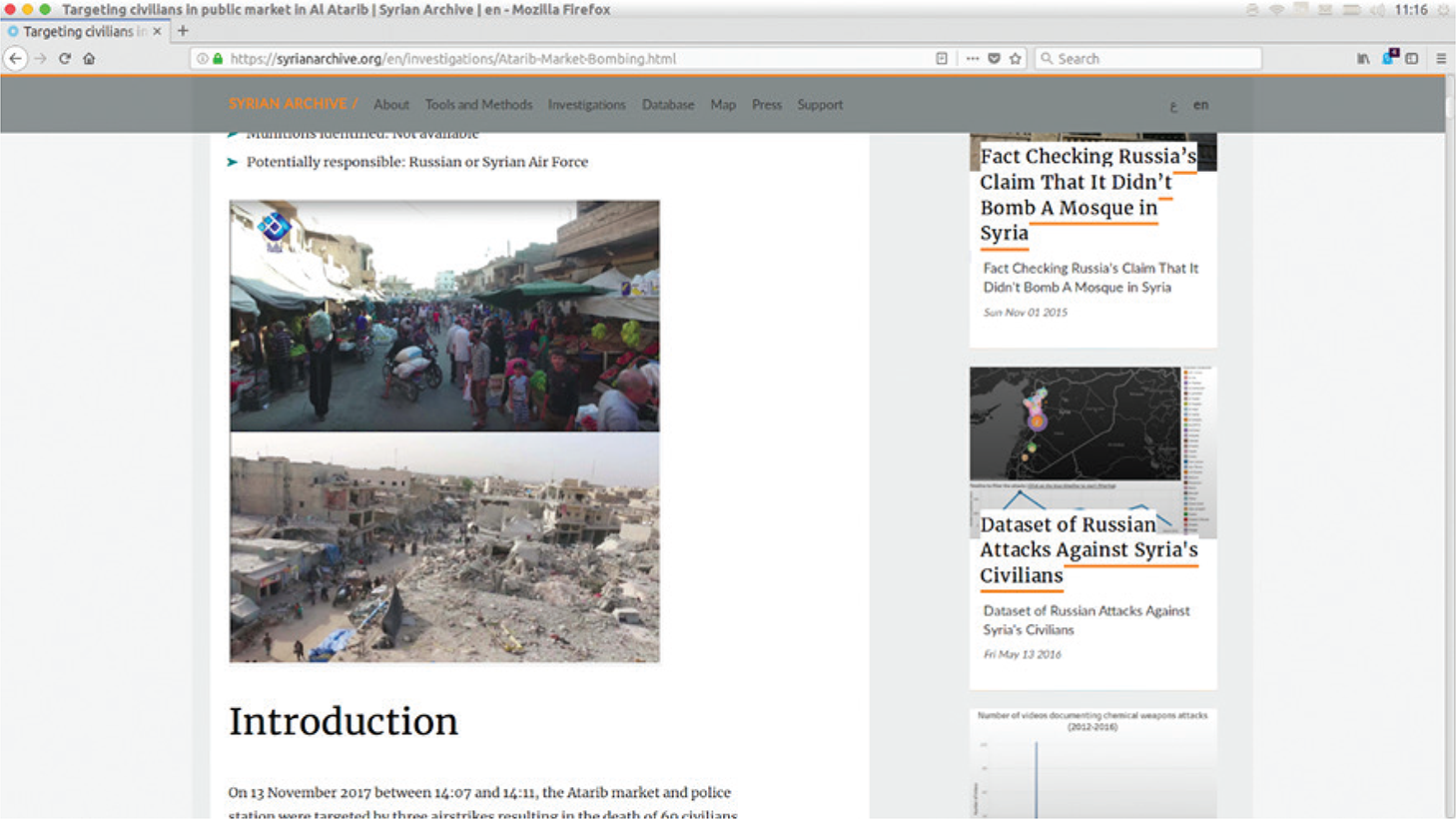
Figure 4
A screenshot of the investigation showing two photos that document the Atarib market before and after the bomb attack. https://syrianarchive.org/en/investigations/Atarib-Market-Bombing.html.
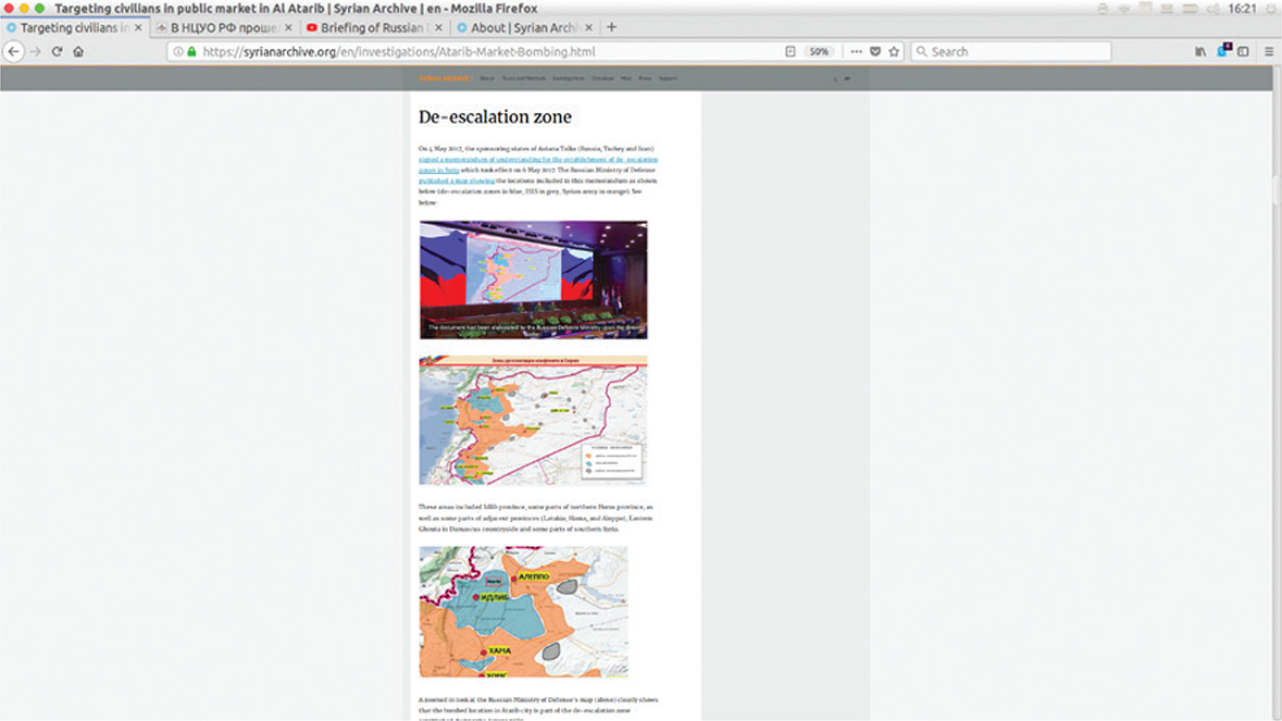
Figure 5
A screenshot capturing the maps presented by the Russian Ministry of Defense, which show the de-escalation zones in Syria. https://syrianarchive.org/en/investigations/Atarib-Market-Bombing.html.
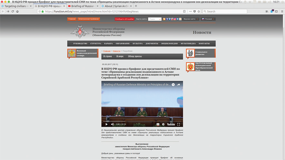
Figure 6
A screenshot of the Russian Ministry of Defense’s website (referred to by the Syrian Archive) which shows a video of a press conference on de-escalation zones in Syria in May 2017. https://function.mil.ru/news_page/intrel/more.htm?id=12121964%40egNews.
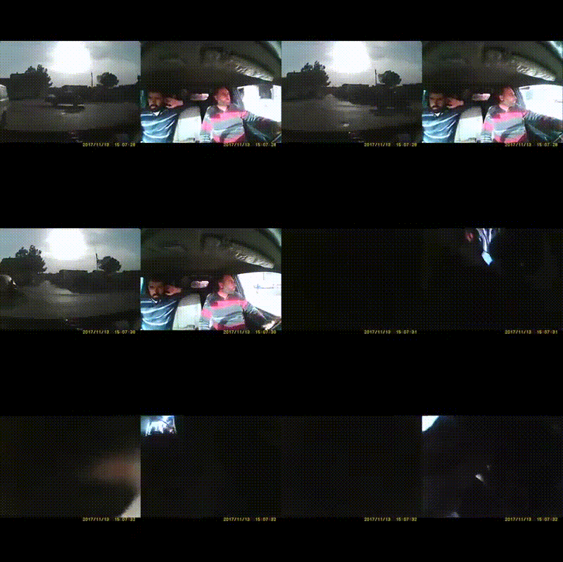
Video 1
Dashcam video showing the first airstrike attacking the Free Police building in Atarib.
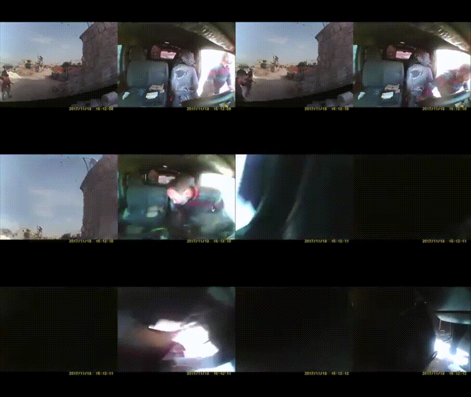
Video 2
Dashcam video showing the moment of impact three minutes after the first airstrike on the Free Police building in Atarib.
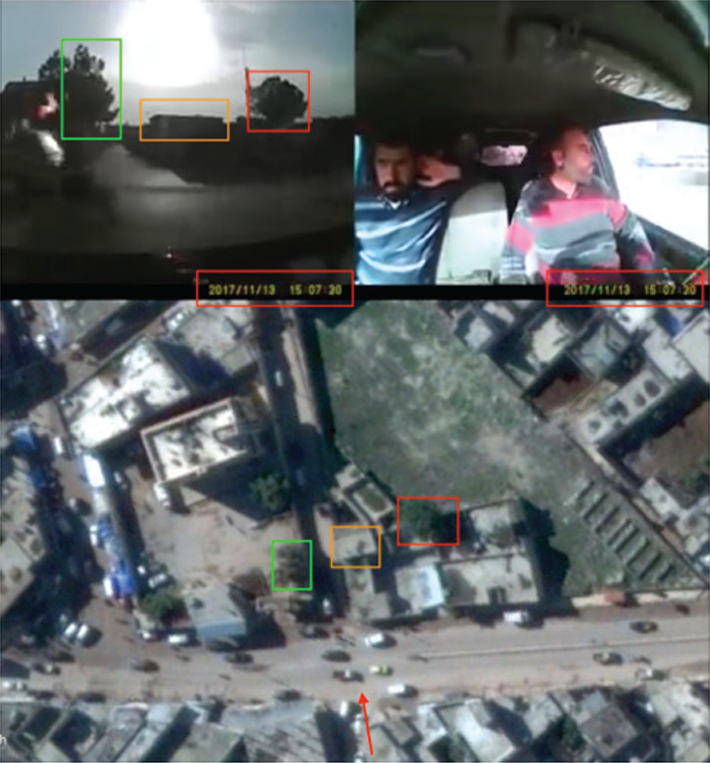
Figure 7
A screenshot showing the juxtaposition of video image and openly available satellite imagery to confirm the location of the car driving southward towards central Atarib.