
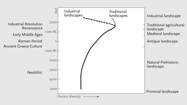
Figure 1
The ‘traditional landscapes’-model. After: Parrachini et al., 2007.
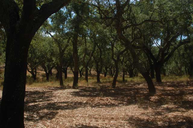
Figure 2
Montado landscape with cork oaks near Evora (Portugal). Photo by author.
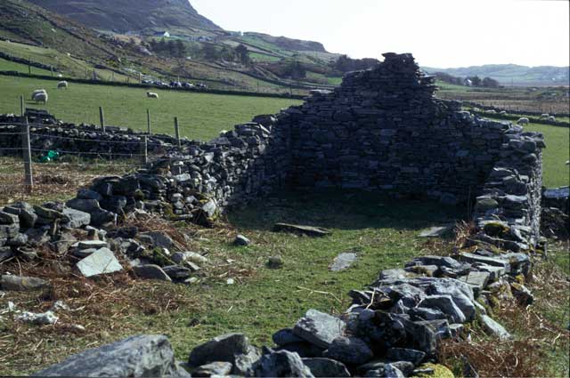
Figure 3
Ruined church in Connemara. Photo by author.
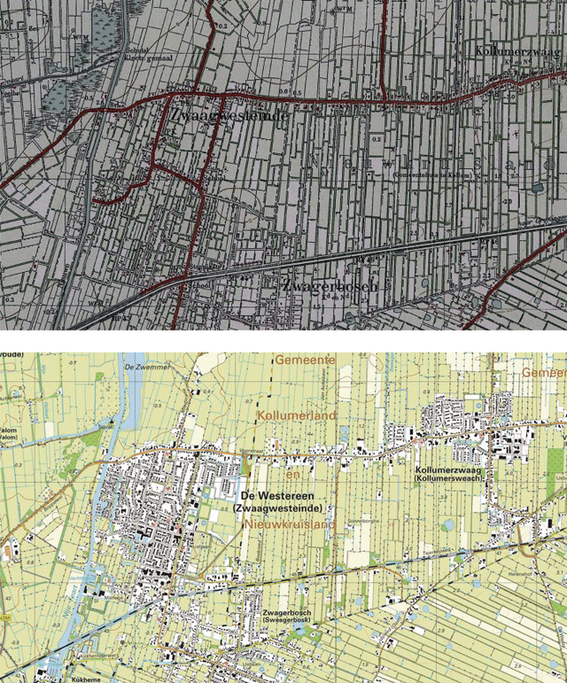
Figure 4
Two topographical maps of part of the Friese Wouden, showing the remarkable stability of this small-scale landscape. a. The situation circa 1930. The 0 meters above sea-level altitude lines (the bended brown lines) mark the limits of the dispersion of wood banks; in the lower parts of the landscape, water-filled ditches sufficed as cattle fences. (Chromotopographische kaart van Nederland 1:25,000, sheet 76, 1930). © Topografische Dienst Kadaster, Apeldoorn, Netherlands. b. The same area in 2011. (Topografische kaart van Nederland 1:25,000, sheets 11D and 11G, 2011). © Topografische Dienst Kadaster, Apeldoorn, Netherlands.