
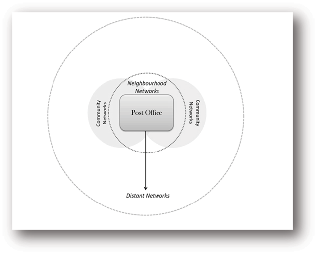
Figure 1
The Space of the Post Office and Neighbourhood and Community Networks.
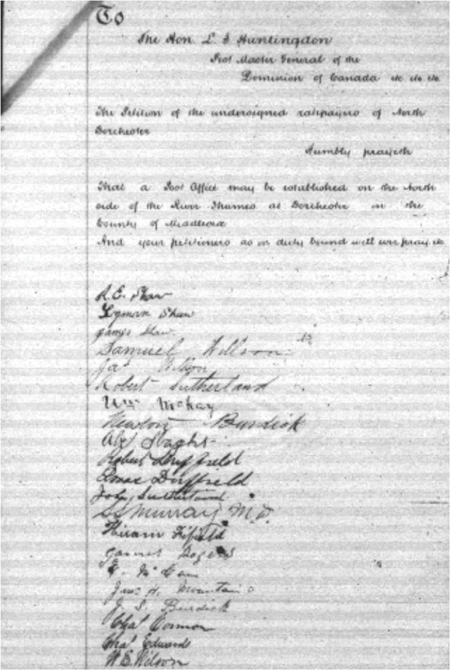
Figure 2
Petition for Post Office in Dorchester, 1878.
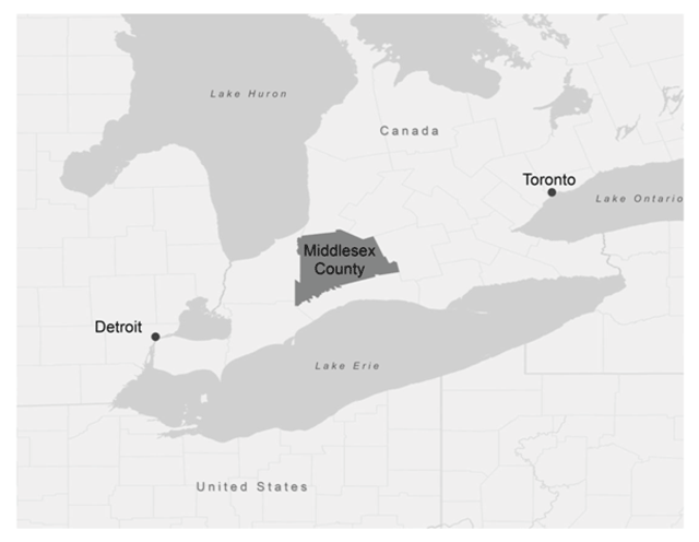
Figure 3
Location of Middlesex County, Ontario, Canada.
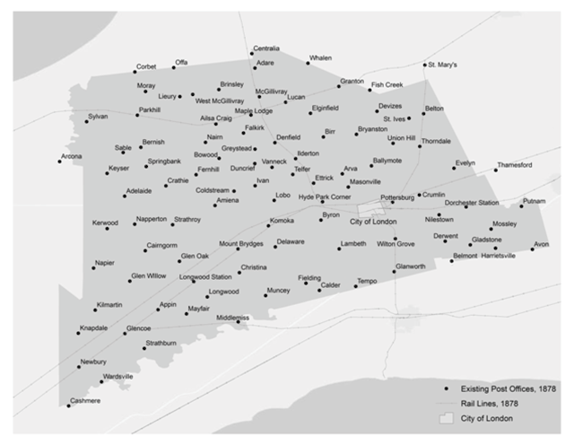
Figure 4
Post Offices in Middlesex County.
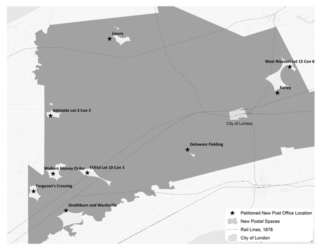
Figure 5
Petitioned New Post Office Locations and their corresponding postal spaces.
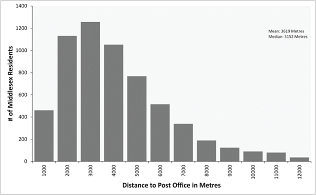
Figure 6
Distances travelled to existing post offices for the 7,100 households in Middlesex County.
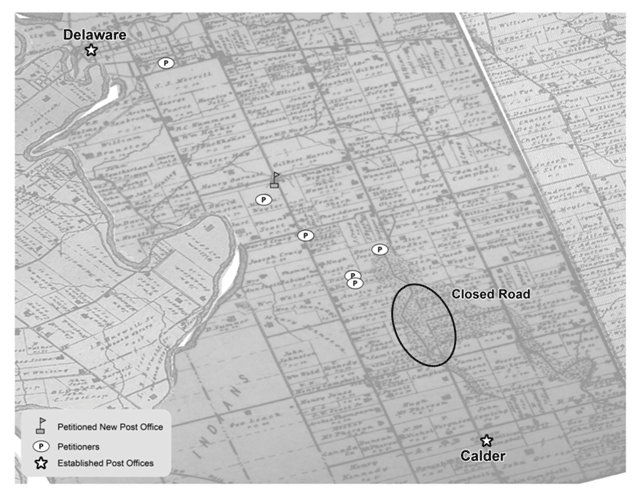
Figure 7
Forces that help create postal communities – Delaware Centre, 1879.
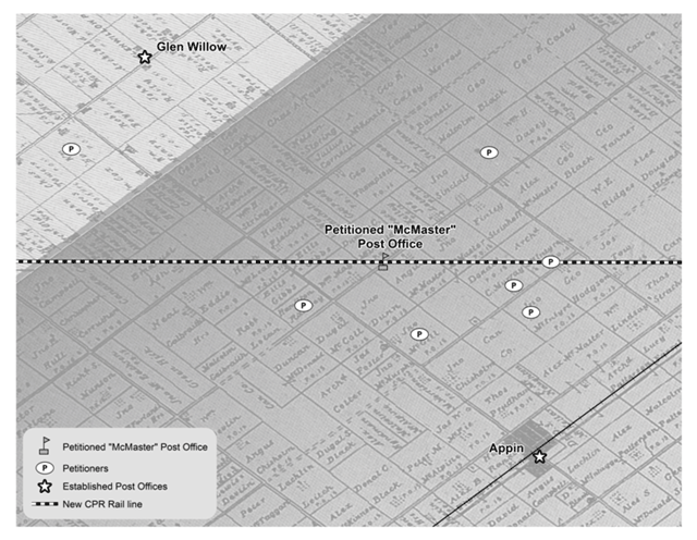
Figure 8
Influence of Railroad on creation of new postal spaces, the McMaster PO, 1890.
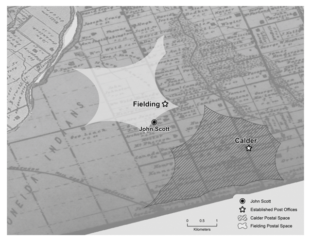
Figure 9
Maintaining a Postal Community and Neighbourhood, the Fielding PO, 1879.
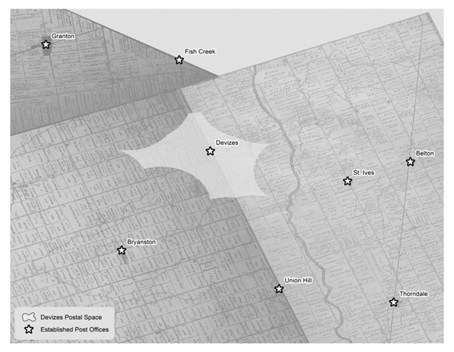
Figure 10
Maintaining a Postal Community and Neighbourhood, the Devizes PO, 1892.
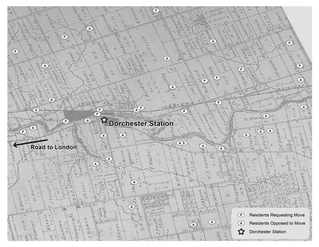
Figure 11
A Split Community, the Dorchester Station PO, 1878.
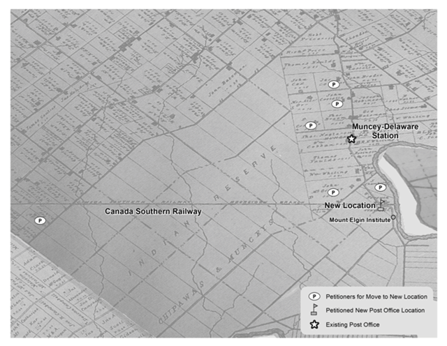
Figure 12
A Split Community, the Muncey-Delaware Station PO, 1878.
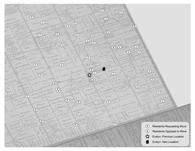
Figure 13
A Split Community, the Evelyn PO, 1881.