
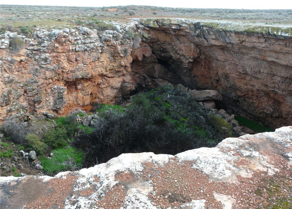
Fig. 1
Koonalda Cave – collapsed doline on flat surface of Nullabor Plain.
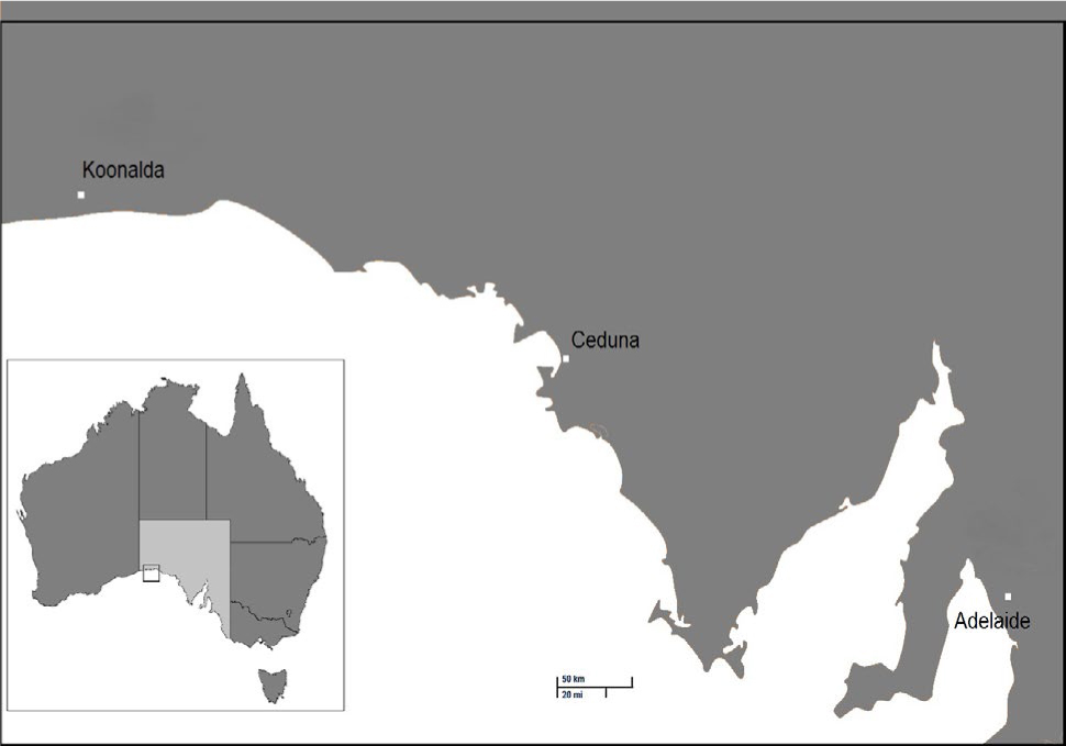
Fig. 2
Location of Koonalda Cave, South Australia.
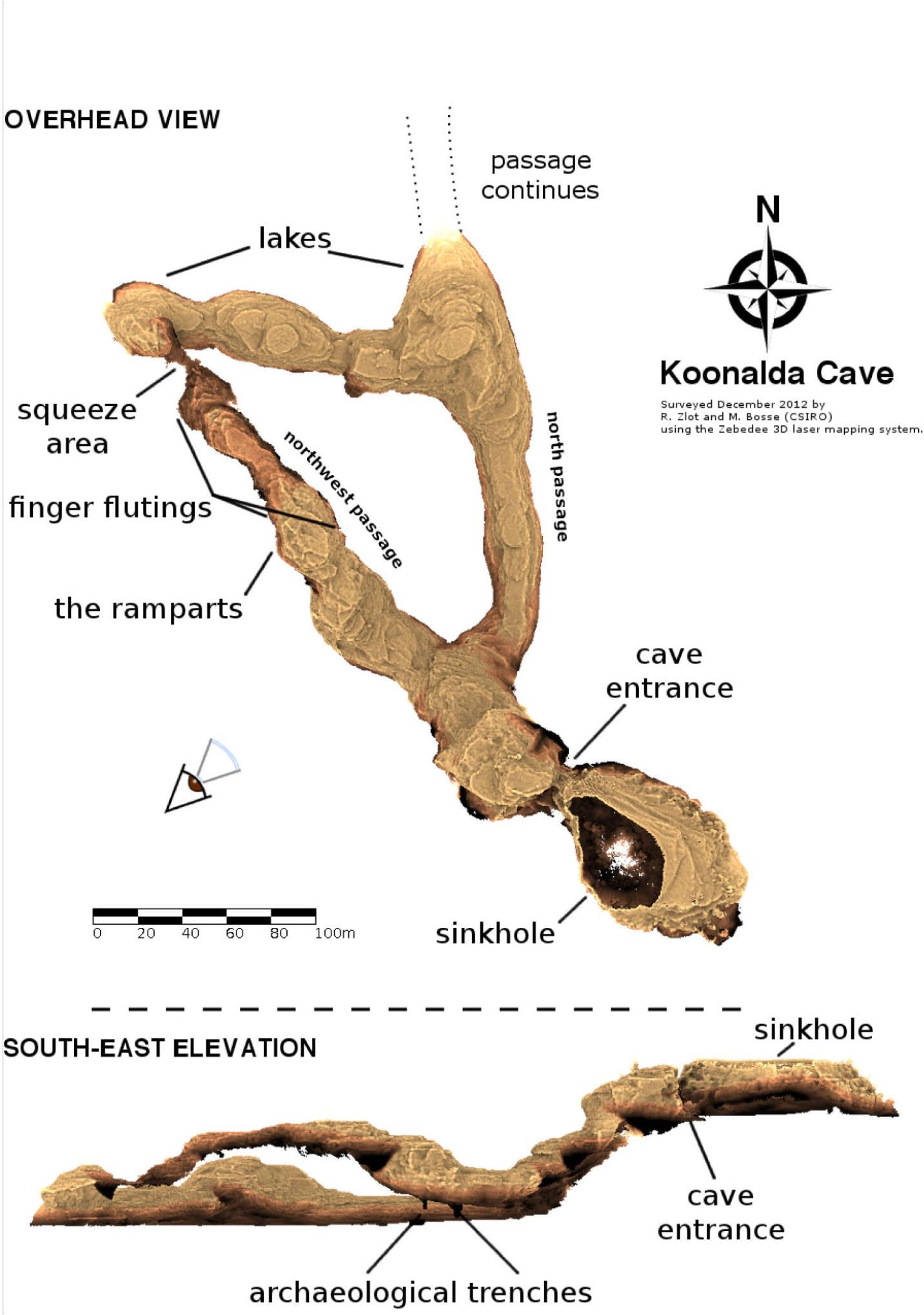
Fig. 3
3D representation of Koonalda Cave (Zlot and Bosse 2014:202).
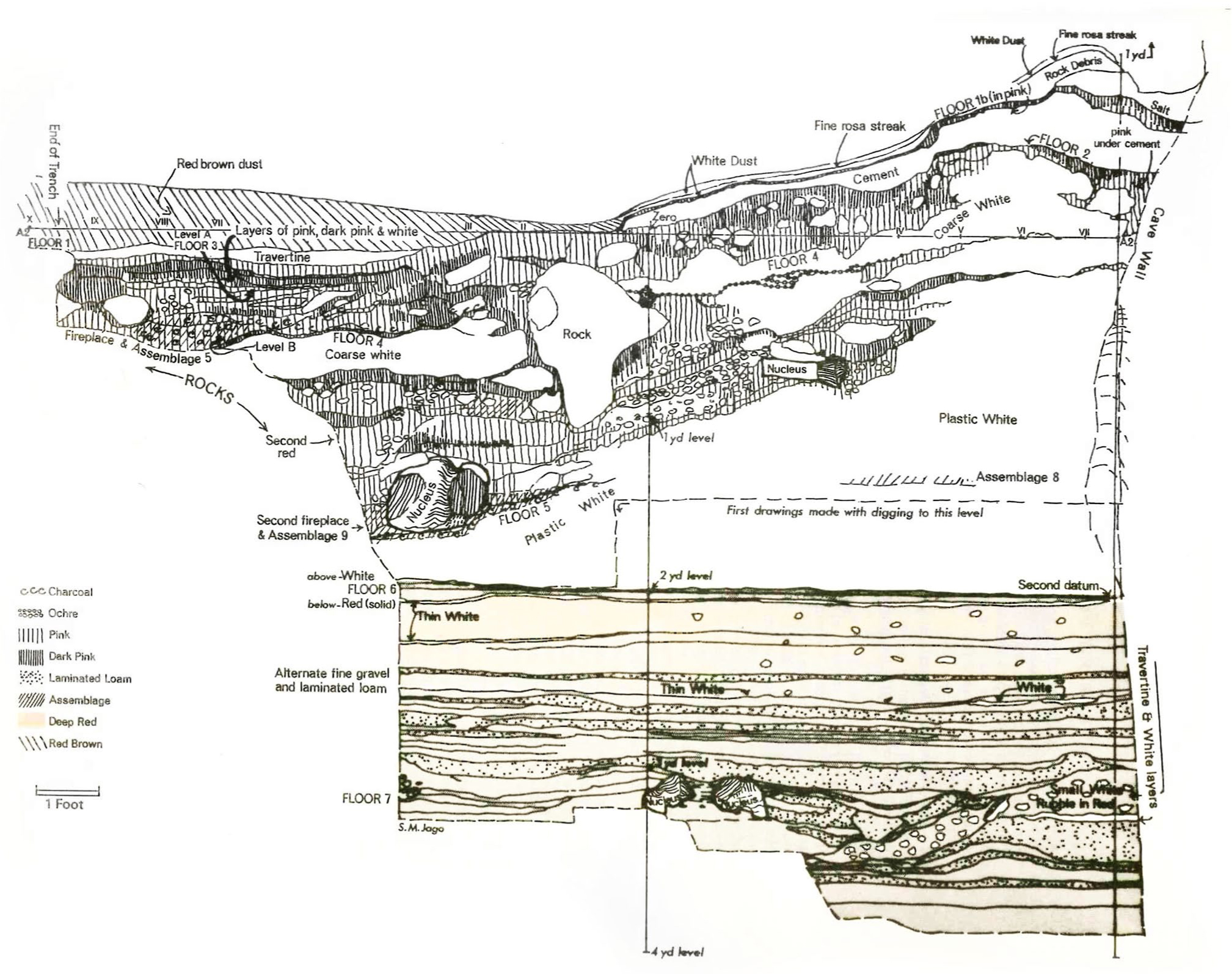
Fig. 4
Stratigraphy of Koonalda Cave (adapted from Gallus 1971:89 in RVS Wright (ed) Archaeology of the Gallus Site).
Table 1
KLDA Radiocarbon Samples and Results.
| Code | Depth from ‘0’ datum, Trench 111 (approx.) (cm) | Age 14C (BP) | Deviation (± BP) |
|---|---|---|---|
| *C-15-34 | 10 above | 10,085 | 31 |
| #KLDA B4-16, Ass.5 Fl.4 | 45 below | 7,787 | 40 |
| *B6-2, Ass.5 | 63 below | 17,568 | 61 |
| *C-19-3 | 132 below | 17,375 | 60 |
| *KLDA intermediate zone (a) | 182 below | 23,019 | 92 |
| *KLDA intermediate zone (b) | 182 below | 23,040 | 109 |
[The Carbon-13 stable isotope value (δ13C) was measured on prepared graphite using the AMS spectrometer. The radiocarbon date has therefore been corrected for isotopic fractionation. However, the AMS-measured δ13C value can differ from the δ13C of the original material and it is therefore not shown.]